Transport Functions
Rail
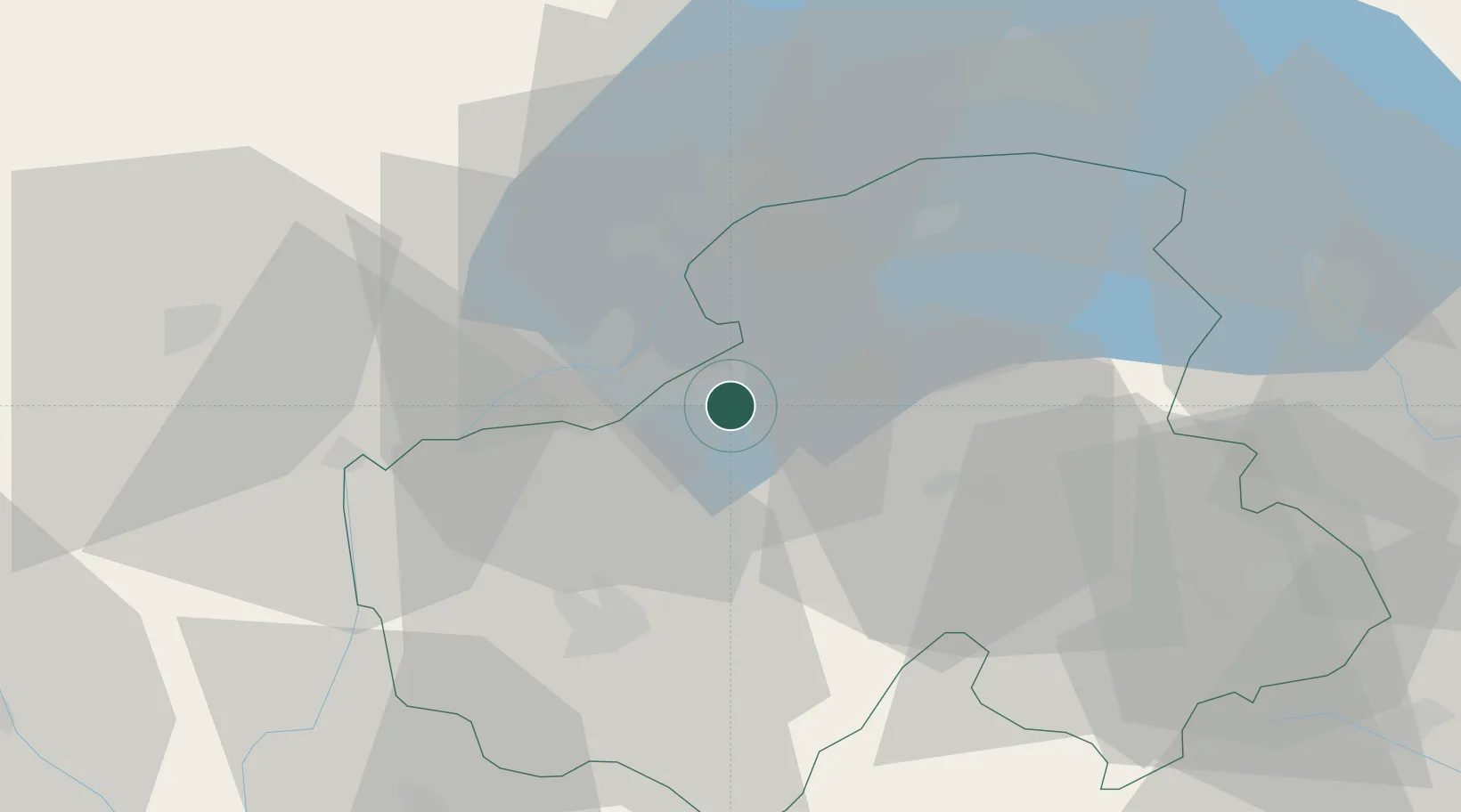
Hub Profile
Place type
Populated place
Region
Rhône-Alpes
Population
5,991
Time zone
Europe/Paris
Elevation
495 m
Location
Nearby Logistics Neighbours
Cities
- 1Reignier-Ésery4 km
- 2Lucinges5 km
- 3Annemasse5 km
- 4Chene-Bougeries9 km
- 5Vésenaz9 km
Ports
- 1Savona270 km
- 2Rada Di Vado272 km
- 3Monaco285 km
- 4Nice286 km
- 5Genova286 km
Airports
Trade Zones
DatabookThe Record of Consolidated Knowledge
France beyond logistics?