Medium airport · France

Annecy Meythet airportLFLP
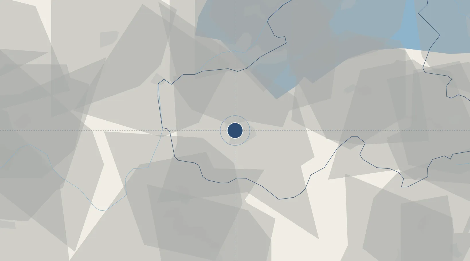
45.9289°, 6.0987°
5,348 ft
Longest runway
1
Runways
1,521 ft
Elevation

Runway & Layout

Annecy Meythet airport runway & taxiway layout
Runway & taxiway layout — OpenStreetMap (ODbL) / OurAirports

Radio Frequencies

TWR
118.2 MHz
ANNECY TWR
APP
123.7 MHz
CHAMBERY APP
AFIS
118.2 MHz
INFO
OurAirports

Runways · 1

RunwayDimensions SurfaceTrue headingLit
04/22 5,348 × 98ft Asphalt 039°
OurAirports

Airport Specifications

IATA code
NCY
OurAirports
ICAO code
LFLP
OurAirports
Airport class
Medium airport
OurAirports
Scheduled service
Yes
OurAirports
Runway surface
Asphalt
OurAirports
Served city
Annecy
OurAirports

Location

Location of LFLP
Natural Earth 10m (public domain) · Haute-Savoie · LFLP · 45.93, 6.10GoogleOSMYandex

Nearby Logistics Neighbours

Airports
  1. 1Annemasse Airfield32 km
  2. 2Geneva Cointrin International Airport34 km
  3. 3Chambéry Aix les Bains airport37 km
  4. 4Ambérieu Air Base (BA 278)60 km
  5. 5Lyon Saint-Exupéry Airport81 km
Nearest neighbours — logibook spatial index (haversine) over the source coordinates
Cities
  1. 1Épagny1 km
  2. 2Lesménils1 km
  3. 3Argonay3 km
  4. 4Poisy3 km
  5. 5Annecy4 km
Nearest neighbours — logibook spatial index (haversine) over the source coordinates
Ports
  1. 1Savona260 km
  2. 2Rada Di Vado262 km
  3. 3Nice265 km
  4. 4Monaco265 km
  5. 5Villefranche266 km
Nearest neighbours — logibook spatial index (haversine) over the source coordinates
Trade Zones
  1. 1Port Franc de Geneve29 km
  2. 2Geneva Freeport, La Praille, Geneva29 km
  3. 3Geneva Cointrin International Airport Free Port32 km
  4. 4Aosta Valley60 km
  5. 5Port Franc Vevey70 km
Nearest neighbours — logibook spatial index (haversine) over the source coordinates
DatabookThe Record of Consolidated Knowledge
France beyond logistics?
Browse databook

All Sources

AirportsOurAirports
Public domain
Portsthe NGA World Port Index
Public domain (US gov)
LocationsUN/LOCODE
UN/LOCODE — free
Trade Zonesthe World Bank SEZ database
CC BY 4.0
Trade ZonesOpen Zone Map
CC BY
InfrastructureOpenStreetMap
ODbL 1.0
← France airports