UN/LOCODE hub · France
FREUV

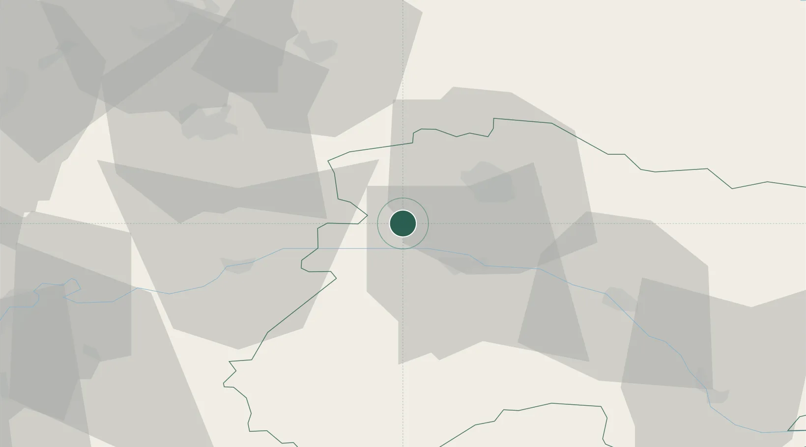
La Neuville-aux-Larris

49.1500°, 3.8333°
168
Population
1
Transport functions

Transport Functions

Multimodal
UN/LOCODE

Hub Profile

Place type
Populated place
GeoNames
Region
Grand Est
GeoNames
Population
168
GeoNames
Time zone
Europe/Paris
GeoNames
Elevation
247 m
GeoNames

Location

Location of FREUV
Natural Earth 10m (public domain) · Grand Est · FREUV · 49.15, 3.83GoogleOSMYandex

Nearby Logistics Neighbours

Cities
  1. 1Champlat-et-Boujacourt0 km
  2. 2Cuchery2 km
  3. 3Mont-Saint-Père4 km
  4. 4Belval-sous-Châtillon4 km
  5. 5Marfaux4 km
Nearest neighbours — logibook spatial index (haversine) over the source coordinates
Ports
  1. 1Bruxelles194 km
  2. 2Saint-Valery-Sur-Somme197 km
  3. 3Port Of Rouen203 km
  4. 4Le Treport205 km
  5. 5Ghent213 km
Nearest neighbours — logibook spatial index (haversine) over the source coordinates
Airports
  1. 1Chalons Vatry airport50 km
  2. 2Charleville-Mézières Ardennes-Etienne Riché Airfield92 km
  3. 3Troyes-Barberey Airport93 km
  4. 4Charles de Gaulle International Airport95 km
  5. 5Creil Air Base96 km
Nearest neighbours — logibook spatial index (haversine) over the source coordinates
Trade Zones
  1. 1ZFU Reims16 km
  2. 2ZFU Presles, Chevreux46 km
  3. 3ZFU Meaux72 km
  4. 4ZFU Le Vermandois Vermand, Fayet, Artois, Champagne90 km
  5. 5ZFU Ronde Couture92 km
Nearest neighbours — logibook spatial index (haversine) over the source coordinates
DatabookThe Record of Consolidated Knowledge
France beyond logistics?
Browse databook

All Sources

LocationsUN/LOCODE
UN/LOCODE — free
LocationsGeoNames
CC BY 4.0
Portsthe NGA World Port Index
Public domain (US gov)
AirportsOurAirports
Public domain
Trade Zonesthe World Bank SEZ database
CC BY 4.0
Trade ZonesOpen Zone Map
CC BY
← France locations