Transport Functions
Rail
Road
Hub Profile
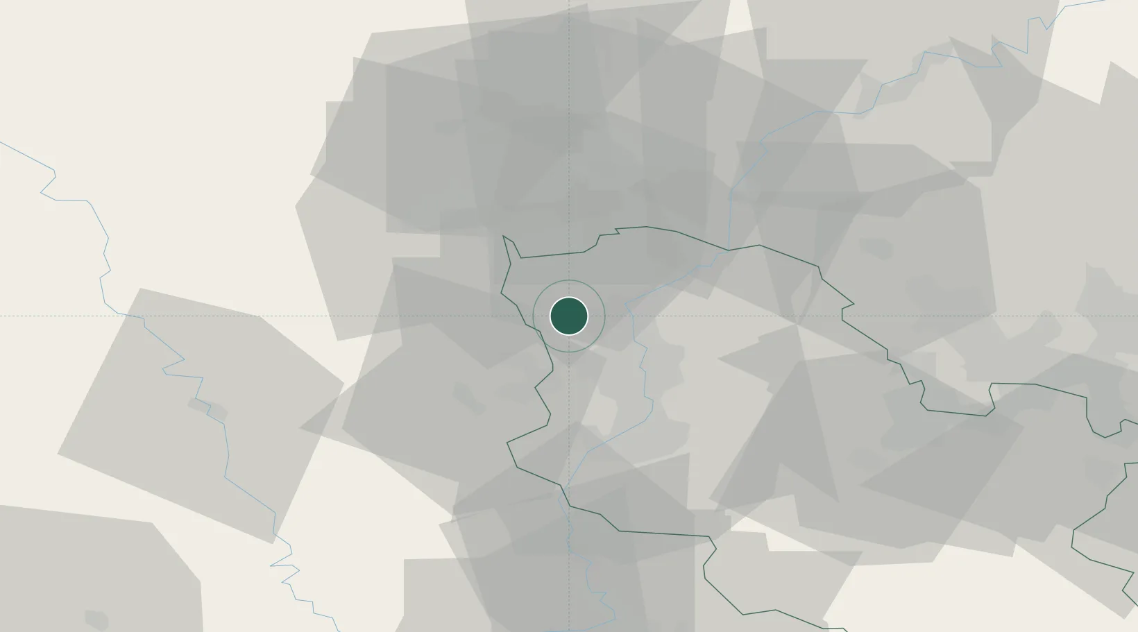
Place type
Populated place
Region
Grand Est
Population
15,501
Time zone
Europe/Paris
Elevation
192 m
Location
Nearby Logistics Neighbours
Cities
- 1Havange7 km
- 2Rosselange8 km
- 3Uckange8 km
- 4Thionville9 km
- 5Illange10 km
Airports
Trade Zones
- 1ZFU Woippy-Metz22 km
- 2ZFU Metz27 km
- 3Luxembourg Free Port36 km
- 4ZFU La Cité Behren-lès-Forbach66 km
- 5ZFU Maxéville, Laxou, et de Nancy70 km
DatabookThe Record of Consolidated Knowledge
France beyond logistics?