Transport Functions
Multimodal
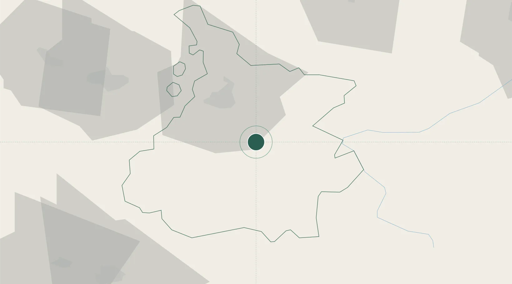
Hub Profile
Place type
Populated place
Region
Occitanie
Population
68
Time zone
Europe/Paris
Elevation
626 m
Location
Nearby Logistics Neighbours
Cities
- 1Bagnères-de-Bigorre5 km
- 2Sarrancolin17 km
- 3Momères17 km
- 4Séméac20 km
- 5Tarbes22 km
Ports
- 1Bayonne145 km
- 2Puerto De Pasajes177 km
- 3Bordeaux210 km
- 4Ambes225 km
- 5Port-La-Nouvelle232 km
Airports
Trade Zones
- 1ZFU Toulouse116 km
- 2Depósito Franco de Pasajes (Guipúzcoa)176 km
- 3Depósito Franco de Zaragoza178 km
- 4ZFU Hauts de Garonne206 km
- 5Port de Bordeaux214 km
DatabookThe Record of Consolidated Knowledge
France beyond logistics?