UN/LOCODE hub · France
FRRLO
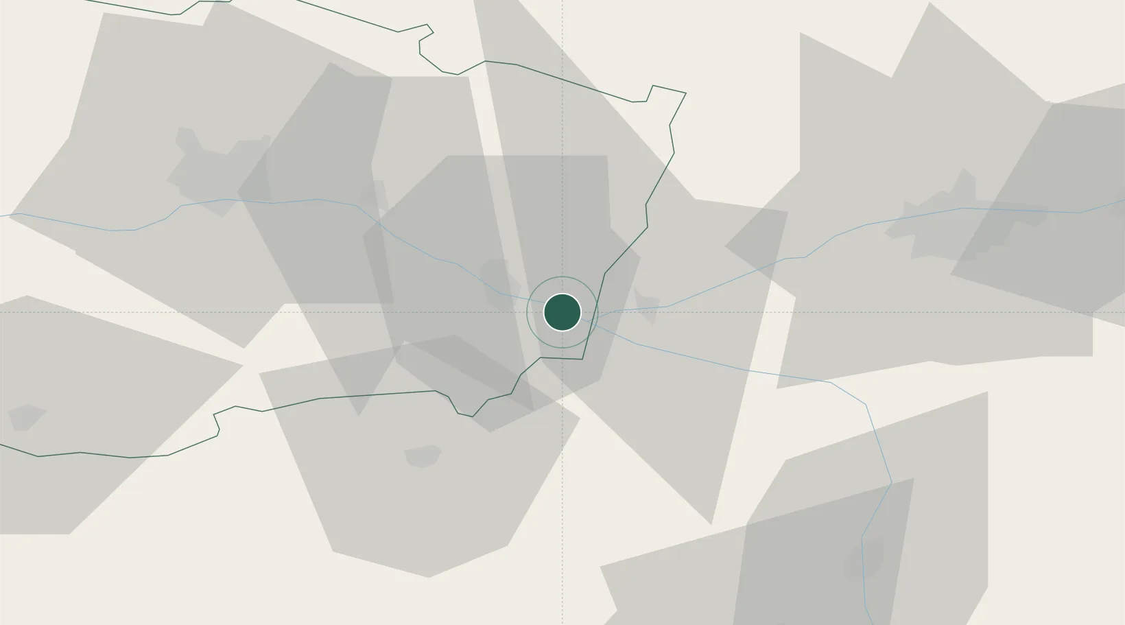
Varennes-sur-Loire
47.2333°, 0.0333°
1,954
Population
2
Transport functions
Transport Functions
Road
Multimodal
Hub Profile
Place type
Populated place
Region
Pays de la Loire
Population
1,954
Time zone
Europe/Paris
Elevation
30 m
Location
Nearby Logistics Neighbours
Cities
- 1Parnay1 km
- 2Villebernier5 km
- 3Castillon-de-Castets6 km
- 4Castelnau-de-Lévis6 km
- 5Le Subdray6 km
Ports
- 1Nantes121 km
- 2La Rochelle151 km
- 3La Pallice152 km
- 4Tonnay Charente161 km
- 5Les Sables D' Olonne162 km
Airports
- 1Angers Marcé airport45 km
- 2Tours Val de Loire Airport57 km
- 3Poitiers-Biard Airport75 km
- 4Le Mans-Arnage Airport81 km
- 5Laval-Entrammes Airport106 km
Trade Zones
- 1ZFU Angers55 km
- 2ZFU Le Mans84 km
- 3ZFU Blois101 km
- 4ZFU Nantes et Saint-Herblain131 km
- 5ZFU Alençon133 km
DatabookThe Record of Consolidated Knowledge
France beyond logistics?