Transport Functions
Multimodal
Hub Profile
Place type
Populated place
Region
Nouvelle-Aquitaine
Time zone
Europe/Paris
Elevation
86 m
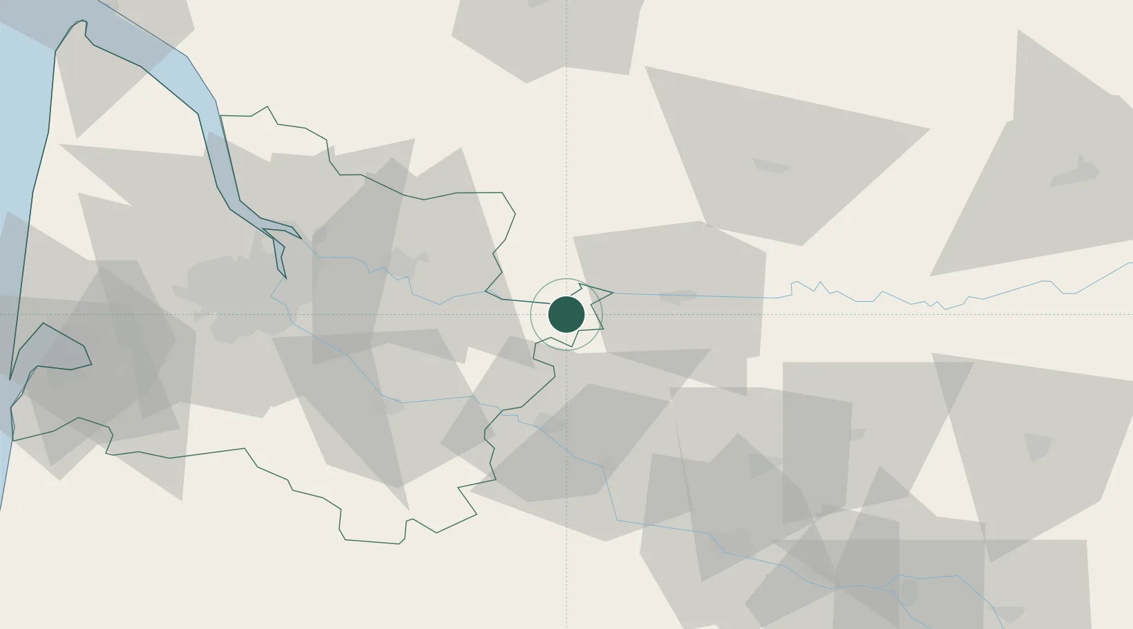
Location
Nearby Logistics Neighbours
Cities
- 1La Roquille3 km
- 2Riocaud4 km
- 3Port-Sainte-Foy-et-Ponchapt4 km
- 4Saint-Antoine-de-Breuilh5 km
- 5Caplong6 km
Airports
Trade Zones
- 1Port de Bordeaux59 km
- 2ZFU Hauts de Garonne61 km
- 3ZFU Toulouse166 km
- 4ZFU La Rochelle187 km
- 5Depósito Franco de Pasajes (Guipúzcoa)236 km
DatabookThe Record of Consolidated Knowledge
France beyond logistics?