UN/LOCODE hub · France
FRXFE

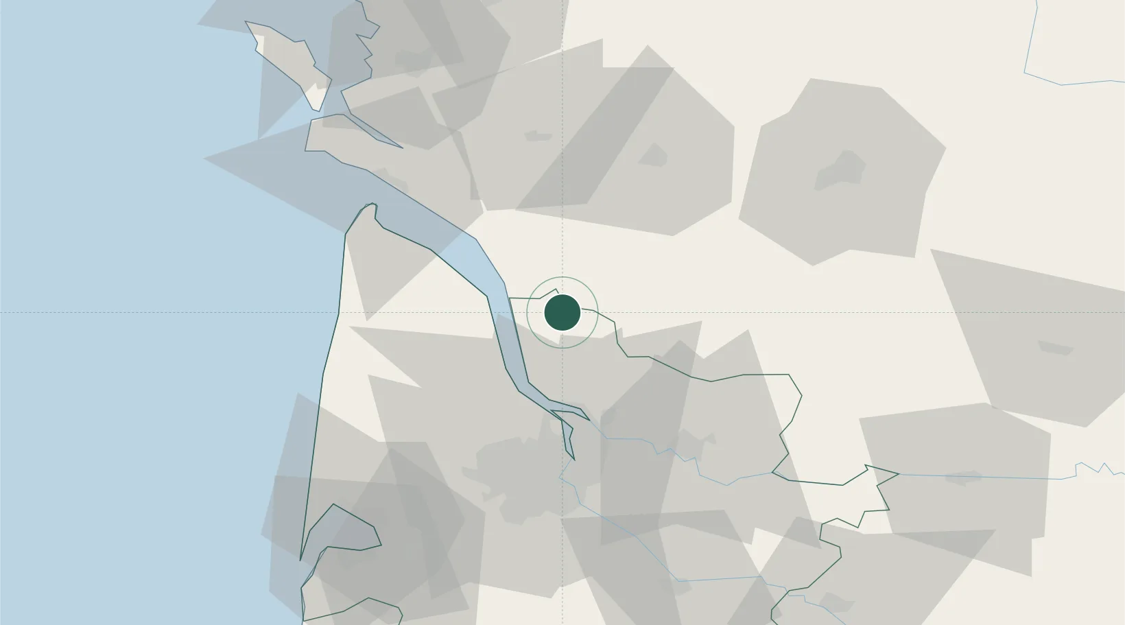
Saint-Caprais-de-Blaye

45.2833°, -0.5667°
439
Population
1
Transport functions

Transport Functions

Multimodal
UN/LOCODE

Hub Profile

Place type
Populated place
GeoNames
Region
Nouvelle-Aquitaine
GeoNames
Population
439
GeoNames
Time zone
Europe/Paris
GeoNames
Elevation
31 m
GeoNames

Location

Location of FRXFE
Natural Earth 10m (public domain) · Nouvelle-Aquitaine · FRXFE · 45.28, -0.57GoogleOSMYandex

Nearby Logistics Neighbours

Cities
  1. 1Saint-Aubin-de-Blaye2 km
  2. 2Saint-Palais4 km
  3. 3Étauliers7 km
  4. 4Anglade9 km
  5. 5Mirambeau9 km
Nearest neighbours — logibook spatial index (haversine) over the source coordinates
Ports
  1. 1Pauillac17 km
  2. 2Blaye18 km
  3. 3Ambes30 km
  4. 4Bordeaux46 km
  5. 5Le Verdon48 km
Nearest neighbours — logibook spatial index (haversine) over the source coordinates
Airports
  1. 1Cognac-Châteaubernard (BA 709) Air Base46 km
  2. 2Royan-Médis Airport50 km
  3. 3Bordeaux–Mérignac Airport52 km
  4. 4Rochefort-Saint-Agnant (BA 721) Airport75 km
  5. 5Angoulême Brie-Champniers airport79 km
Nearest neighbours — logibook spatial index (haversine) over the source coordinates
Trade Zones
  1. 1Port de Bordeaux42 km
  2. 2ZFU Hauts de Garonne51 km
  3. 3ZFU La Rochelle110 km
  4. 4ZFU Nantes et Saint-Herblain233 km
  5. 5Depósito Franco de Pasajes (Guipúzcoa)243 km
Nearest neighbours — logibook spatial index (haversine) over the source coordinates
DatabookThe Record of Consolidated Knowledge
France beyond logistics?
Browse databook

All Sources

LocationsUN/LOCODE
UN/LOCODE — free
LocationsGeoNames
CC BY 4.0
Portsthe NGA World Port Index
Public domain (US gov)
AirportsOurAirports
Public domain
Trade Zonesthe World Bank SEZ database
CC BY 4.0
Trade ZonesOpen Zone Map
CC BY
← France locations