UN/LOCODE hub · France
FRKOL

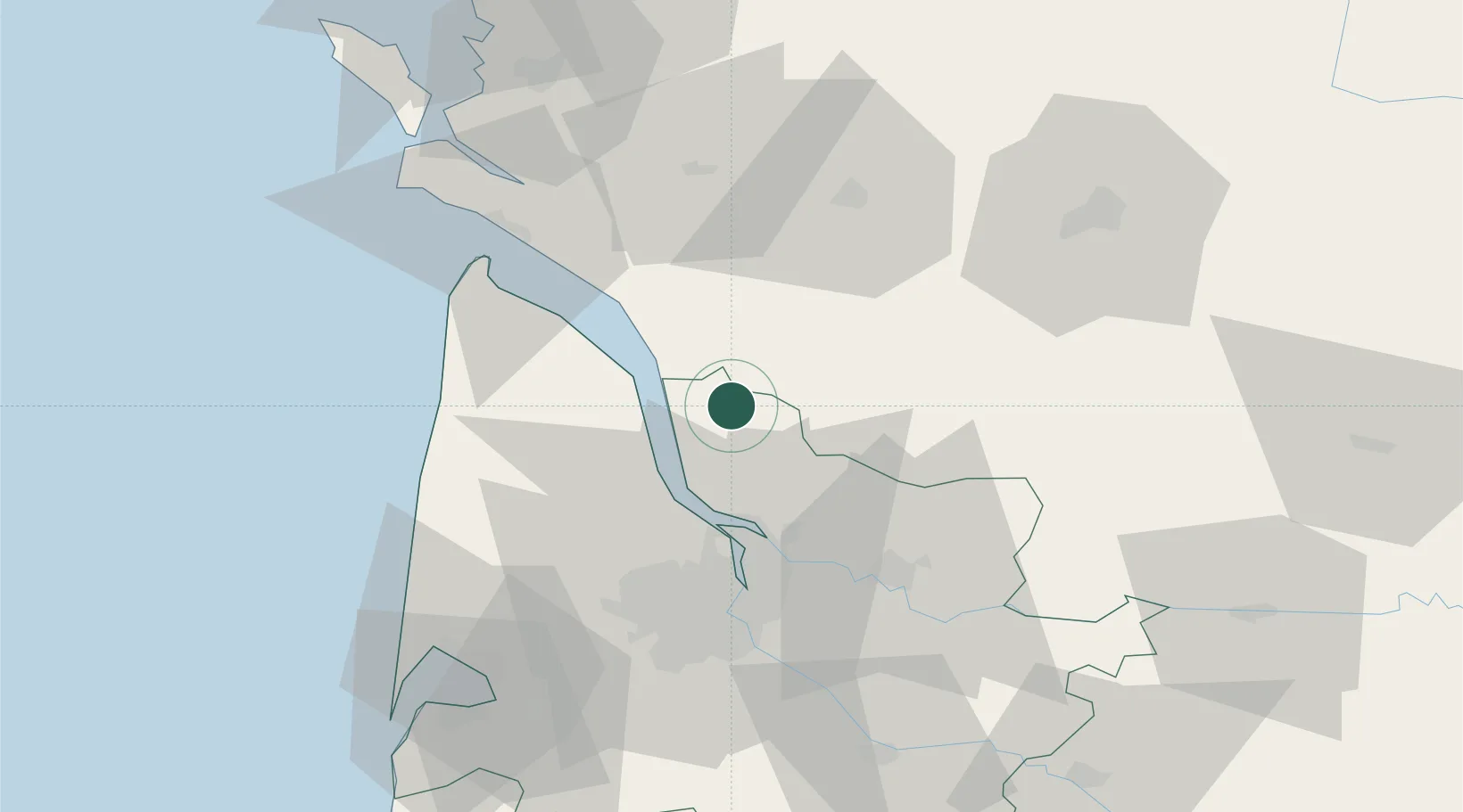
Saint-Aubin-de-Blaye

45.2667°, -0.5667°
764
Population
1
Transport functions

Transport Functions

Multimodal
UN/LOCODE

Hub Profile

Place type
Populated place
GeoNames
Region
Nouvelle-Aquitaine
GeoNames
Population
764
GeoNames
Time zone
Europe/Paris
GeoNames
Elevation
24 m
GeoNames

Location

Location of FRKOL
Natural Earth 10m (public domain) · Nouvelle-Aquitaine · FRKOL · 45.27, -0.57GoogleOSMYandex

Nearby Logistics Neighbours

Cities
  1. 1Saint-Caprais-de-Blaye2 km
  2. 2Étauliers6 km
  3. 3Saint-Palais6 km
  4. 4Anglade8 km
  5. 5Campugnan9 km
Nearest neighbours — logibook spatial index (haversine) over the source coordinates
Ports
  1. 1Pauillac16 km
  2. 2Blaye17 km
  3. 3Ambes28 km
  4. 4Bordeaux45 km
  5. 5Le Verdon49 km
Nearest neighbours — logibook spatial index (haversine) over the source coordinates
Airports
  1. 1Cognac-Châteaubernard (BA 709) Air Base48 km
  2. 2Bordeaux–Mérignac Airport50 km
  3. 3Royan-Médis Airport51 km
  4. 4Rochefort-Saint-Agnant (BA 721) Airport76 km
  5. 5Angoulême Brie-Champniers airport80 km
Nearest neighbours — logibook spatial index (haversine) over the source coordinates
Trade Zones
  1. 1Port de Bordeaux40 km
  2. 2ZFU Hauts de Garonne49 km
  3. 3ZFU La Rochelle111 km
  4. 4ZFU Nantes et Saint-Herblain235 km
  5. 5Depósito Franco de Pasajes (Guipúzcoa)242 km
Nearest neighbours — logibook spatial index (haversine) over the source coordinates
DatabookThe Record of Consolidated Knowledge
France beyond logistics?
Browse databook

All Sources

LocationsUN/LOCODE
UN/LOCODE — free
LocationsGeoNames
CC BY 4.0
Portsthe NGA World Port Index
Public domain (US gov)
AirportsOurAirports
Public domain
Trade Zonesthe World Bank SEZ database
CC BY 4.0
Trade ZonesOpen Zone Map
CC BY
← France locations