UN/LOCODE hub · France
FRUL3

Étauliers

45.2167°, -0.5667°
1,514
Population
1
Transport functions

Transport Functions

Multimodal
UN/LOCODE

Hub Profile

Place type
Populated place
GeoNames
Region
Nouvelle-Aquitaine
GeoNames
Population
1,514
GeoNames
Time zone
Europe/Paris
GeoNames
Elevation
9 m
GeoNames

Location

Location of FRUL3
Natural Earth 10m (public domain) · Nouvelle-Aquitaine · FRUL3 · 45.22, -0.57GoogleOSMYandex

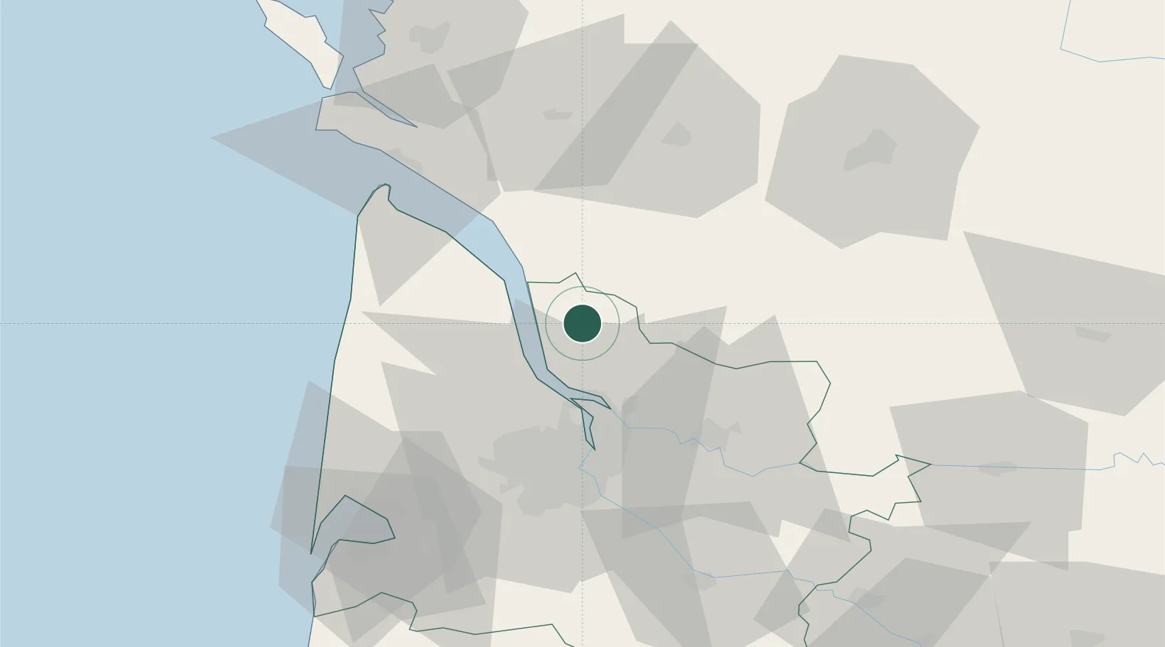
Nearby Logistics Neighbours

Cities
  1. 1Campugnan4 km
  2. 2Cartelègue4 km
  3. 3Anglade5 km
  4. 4Eyrans5 km
  5. 5Saint-Aubin-de-Blaye6 km
Nearest neighbours — logibook spatial index (haversine) over the source coordinates
Ports
  1. 1Blaye12 km
  2. 2Pauillac15 km
  3. 3Ambes22 km
  4. 4Bordeaux39 km
  5. 5Le Verdon53 km
Nearest neighbours — logibook spatial index (haversine) over the source coordinates
Airports
  1. 1Bordeaux–Mérignac Airport45 km
  2. 2Cognac-Châteaubernard (BA 709) Air Base53 km
  3. 3Royan-Médis Airport56 km
  4. 4Aérodrome d'Arcachon-La Teste-de-Buch81 km
  5. 5Rochefort-Saint-Agnant (BA 721) Airport81 km
Nearest neighbours — logibook spatial index (haversine) over the source coordinates
Trade Zones
  1. 1Port de Bordeaux34 km
  2. 2ZFU Hauts de Garonne43 km
  3. 3ZFU La Rochelle116 km
  4. 4Depósito Franco de Pasajes (Guipúzcoa)237 km
  5. 5ZFU Nantes et Saint-Herblain240 km
Nearest neighbours — logibook spatial index (haversine) over the source coordinates
DatabookThe Record of Consolidated Knowledge
France beyond logistics?
Browse databook

All Sources

LocationsUN/LOCODE
UN/LOCODE — free
LocationsGeoNames
CC BY 4.0
Portsthe NGA World Port Index
Public domain (US gov)
AirportsOurAirports
Public domain
Trade Zonesthe World Bank SEZ database
CC BY 4.0
Trade ZonesOpen Zone Map
CC BY
← France locations