Transport Functions
Multimodal
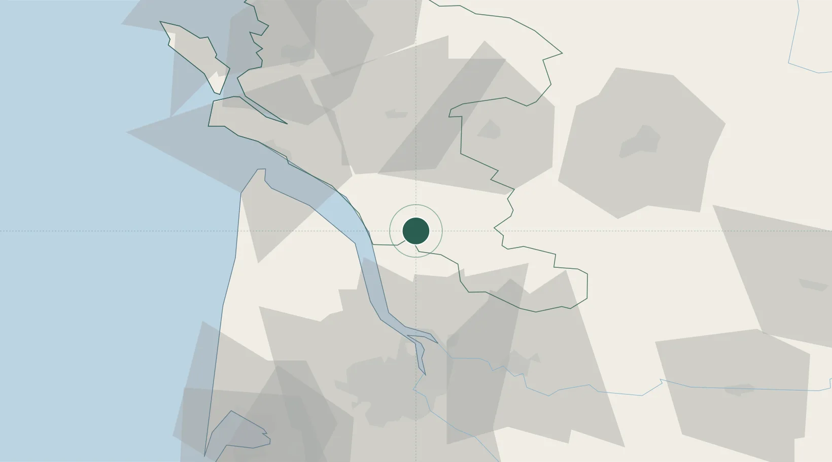
Hub Profile
Place type
Populated place
Region
Nouvelle-Aquitaine
Population
1,453
Time zone
Europe/Paris
Elevation
61 m
Location
Nearby Logistics Neighbours
Cities
- 1Saint-Palais6 km
- 2Saint-Bonnet-sur-Gironde8 km
- 3Saint-Caprais-de-Blaye9 km
- 4Saint-Simon-de-Bordes9 km
- 5Saint-Aubin-de-Blaye11 km
Airports
Trade Zones
- 1Port de Bordeaux51 km
- 2ZFU Hauts de Garonne60 km
- 3ZFU La Rochelle102 km
- 4ZFU Nantes et Saint-Herblain224 km
- 5ZFU Angers235 km
DatabookThe Record of Consolidated Knowledge
France beyond logistics?