Transport Functions
Road
Multimodal
Hub Profile
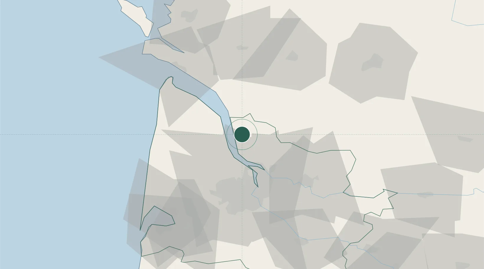
Place type
Populated place
Region
Nouvelle-Aquitaine
Population
835
Time zone
Europe/Paris
Elevation
13 m
Location
Nearby Logistics Neighbours
Cities
- 1Eyrans4 km
- 2Saint-Androny4 km
- 3Étauliers5 km
- 4Cartelègue5 km
- 5Campugnan6 km
Airports
Trade Zones
- 1Port de Bordeaux35 km
- 2ZFU Hauts de Garonne43 km
- 3ZFU La Rochelle114 km
- 4Depósito Franco de Pasajes (Guipúzcoa)234 km
- 5ZFU Nantes et Saint-Herblain238 km
DatabookThe Record of Consolidated Knowledge
France beyond logistics?