UN/LOCODE hub · France
FRXCM

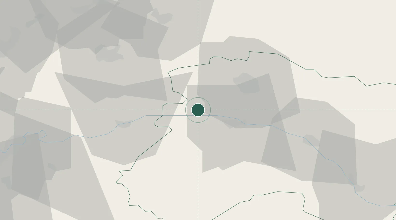
Baslieux-sous-Châtillon

49.1167°, 3.8000°
174
Population
1
Transport functions

Transport Functions

Multimodal
UN/LOCODE

Hub Profile

Place type
Populated place
GeoNames
Region
Grand Est
GeoNames
Population
174
GeoNames
Time zone
Europe/Paris
GeoNames
Elevation
122 m
GeoNames

Location

Location of FRXCM
Natural Earth 10m (public domain) · Grand Est · FRXCM · 49.12, 3.80GoogleOSMYandex

Nearby Logistics Neighbours

Cities
  1. 1Mont-Saint-Père1 km
  2. 2Villers-sous-Châtillon2 km
  3. 3Cuchery2 km
  4. 4Belval-sous-Châtillon4 km
  5. 5La Neuville-aux-Larris4 km
Nearest neighbours — logibook spatial index (haversine) over the source coordinates
Ports
  1. 1Saint-Valery-Sur-Somme197 km
  2. 2Bruxelles199 km
  3. 3Port Of Rouen202 km
  4. 4Le Treport205 km
  5. 5Dieppe216 km
Nearest neighbours — logibook spatial index (haversine) over the source coordinates
Airports
  1. 1Chalons Vatry airport48 km
  2. 2Troyes-Barberey Airport90 km
  3. 3Charles de Gaulle International Airport92 km
  4. 4Creil Air Base94 km
  5. 5Charleville-Mézières Ardennes-Etienne Riché Airfield96 km
Nearest neighbours — logibook spatial index (haversine) over the source coordinates
Trade Zones
  1. 1ZFU Reims20 km
  2. 2ZFU Presles, Chevreux46 km
  3. 3ZFU Meaux69 km
  4. 4ZFU Le Vermandois Vermand, Fayet, Artois, Champagne92 km
  5. 5ZFU La Chapelle Saint-Luc, Les Noës-près-Troyes, Troyes, Sainte-Savine92 km
Nearest neighbours — logibook spatial index (haversine) over the source coordinates
DatabookThe Record of Consolidated Knowledge
France beyond logistics?
Browse databook

All Sources

LocationsUN/LOCODE
UN/LOCODE — free
LocationsGeoNames
CC BY 4.0
Portsthe NGA World Port Index
Public domain (US gov)
AirportsOurAirports
Public domain
Trade Zonesthe World Bank SEZ database
CC BY 4.0
Trade ZonesOpen Zone Map
CC BY
← France locations