Transport Functions
Multimodal
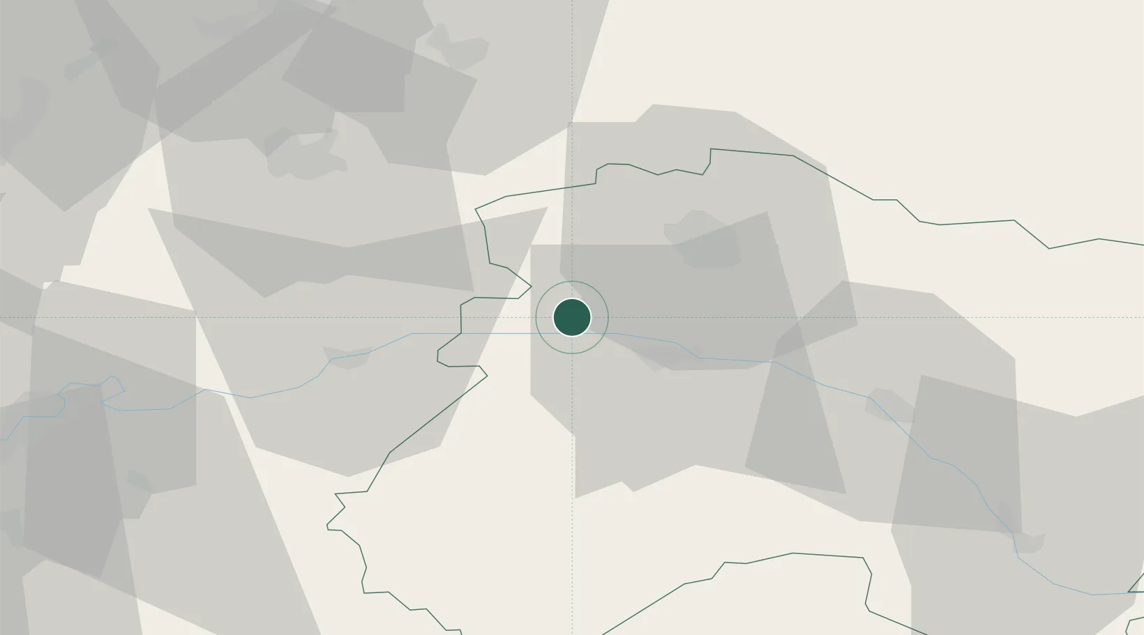
Hub Profile
Place type
Populated place
Region
Hauts-de-France
Population
549
Time zone
Europe/Paris
Elevation
87 m
Location
Nearby Logistics Neighbours
Cities
- 1Baslieux-sous-Châtillon1 km
- 2Cuchery2 km
- 3Villers-sous-Châtillon2 km
- 4Belval-sous-Châtillon2 km
- 5La Neuville-aux-Larris4 km
Ports
- 1Saint-Valery-Sur-Somme198 km
- 2Bruxelles198 km
- 3Port Of Rouen203 km
- 4Le Treport206 km
- 5Ghent217 km
Airports
Trade Zones
DatabookThe Record of Consolidated Knowledge
France beyond logistics?