Transport Functions
Multimodal
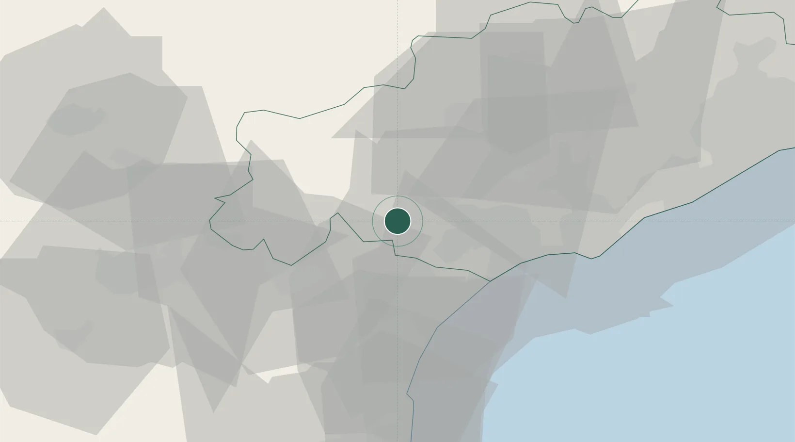
Hub Profile
Place type
Populated place
Region
Occitanie
Population
1,103
Time zone
Europe/Paris
Elevation
109 m
Location
Nearby Logistics Neighbours
Cities
- 1Puisserguier1 km
- 2Cruzy6 km
- 3Saint-Chinian8 km
- 4Poilhes8 km
- 5Villespassans8 km
Ports
- 1Port-La-Nouvelle39 km
- 2Sete55 km
- 3Port-Vendres95 km
- 4Rosas123 km
- 5Port Saint Louis Du Rhone146 km
Airports
Trade Zones
- 1ZFU Béziers16 km
- 2ZFU Montpellier72 km
- 3ZFU Perpignan75 km
- 4ZFU Nîmes118 km
- 5ZFU Toulouse130 km
DatabookThe Record of Consolidated Knowledge
France beyond logistics?