Transport Functions
Port
Multimodal
Hub Profile
Place type
Populated place
Region
Occitanie
Population
940
Time zone
Europe/Paris
Elevation
87 m
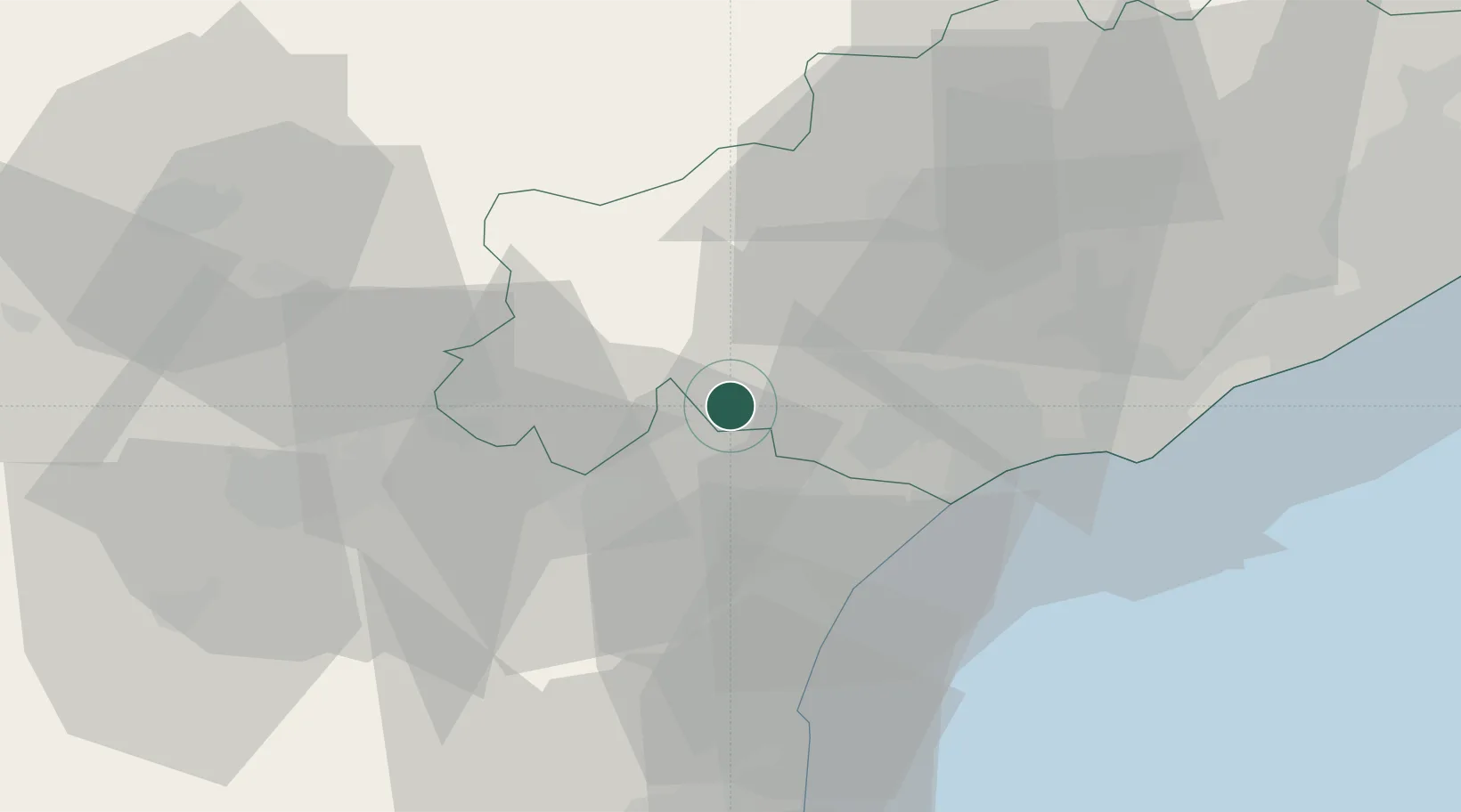
Location
Nearby Logistics Neighbours
Cities
- 1Villespassans5 km
- 2Creissan6 km
- 3Bize-Minervois7 km
- 4Argeliers7 km
- 5Puisserguier7 km
Ports
- 1Port-La-Nouvelle38 km
- 2Sete61 km
- 3Port-Vendres94 km
- 4Rosas122 km
- 5Port Saint Louis Du Rhone151 km
Airports
Trade Zones
- 1ZFU Béziers22 km
- 2ZFU Perpignan73 km
- 3ZFU Montpellier78 km
- 4ZFU Nîmes124 km
- 5ZFU Toulouse125 km
DatabookThe Record of Consolidated Knowledge
France beyond logistics?