UN/LOCODE hub · France
FRWRO

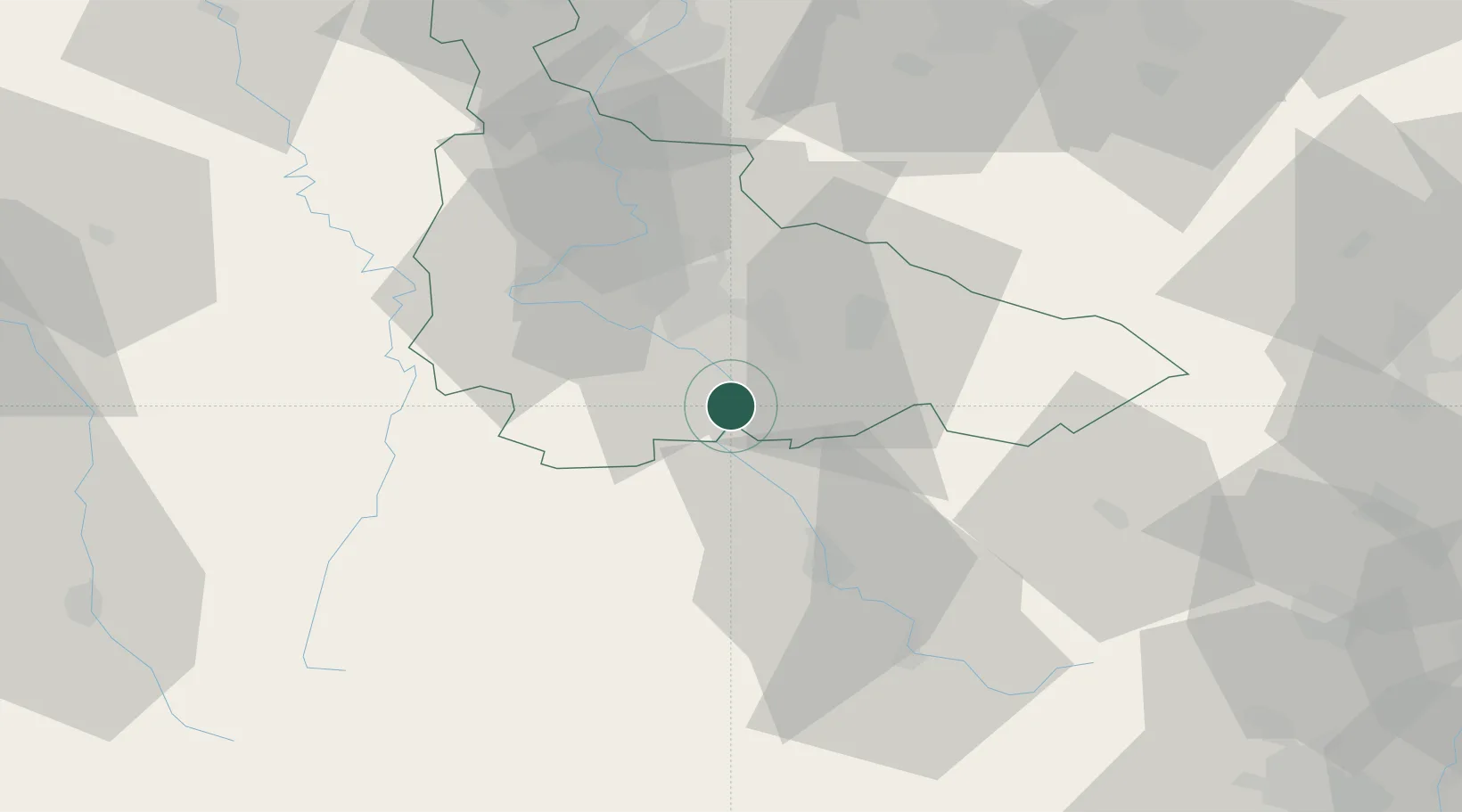
Roville-devant-Bayon

48.4667°, 6.2833°
692
Population
1
Transport functions

Transport Functions

Multimodal
UN/LOCODE

Hub Profile

Place type
Populated place
GeoNames
Region
Grand Est
GeoNames
Population
692
GeoNames
Time zone
Europe/Paris
GeoNames
Elevation
251 m
GeoNames

Location

Location of FRWRO
Natural Earth 10m (public domain) · Grand Est · FRWRO · 48.47, 6.28GoogleOSMYandex

Nearby Logistics Neighbours

Cities
  1. 1Charmes11 km
  2. 2Blainville-sur-l'Eau13 km
  3. 3Autrey13 km
  4. 4Rosières-aux-Salines15 km
  5. 5Vincey15 km
Nearest neighbours — logibook spatial index (haversine) over the source coordinates
Ports
  1. 1Bruxelles301 km
  2. 2Antwerpen334 km
  3. 3Ghent342 km
  4. 4Terneuzen366 km
  5. 5Hansweert370 km
Nearest neighbours — logibook spatial index (haversine) over the source coordinates
Airports
  1. 1Épinal Mirecourt Airport22 km
  2. 2Nancy-Essey Airport25 km
  3. 3Nancy-Ochey (BA 133) Air Base27 km
  4. 4Metz-Nancy-Lorraine Airport57 km
  5. 5Phalsbourg-Bourscheid Air Base75 km
Nearest neighbours — logibook spatial index (haversine) over the source coordinates
Trade Zones
  1. 1ZFU Maxéville, Laxou, et de Nancy28 km
  2. 2ZFU Metz72 km
  3. 3ZFU Woippy-Metz77 km
  4. 4ZFU La Cité Behren-lès-Forbach91 km
  5. 5ZFU Belfort99 km
Nearest neighbours — logibook spatial index (haversine) over the source coordinates
DatabookThe Record of Consolidated Knowledge
France beyond logistics?
Browse databook

All Sources

LocationsUN/LOCODE
UN/LOCODE — free
LocationsGeoNames
CC BY 4.0
Portsthe NGA World Port Index
Public domain (US gov)
AirportsOurAirports
Public domain
Trade Zonesthe World Bank SEZ database
CC BY 4.0
Trade ZonesOpen Zone Map
CC BY
← France locations