Transport Functions
Multimodal
Hub Profile
Place type
Populated place
Region
Nouvelle-Aquitaine
Population
336
Time zone
Europe/Paris
Elevation
19 m
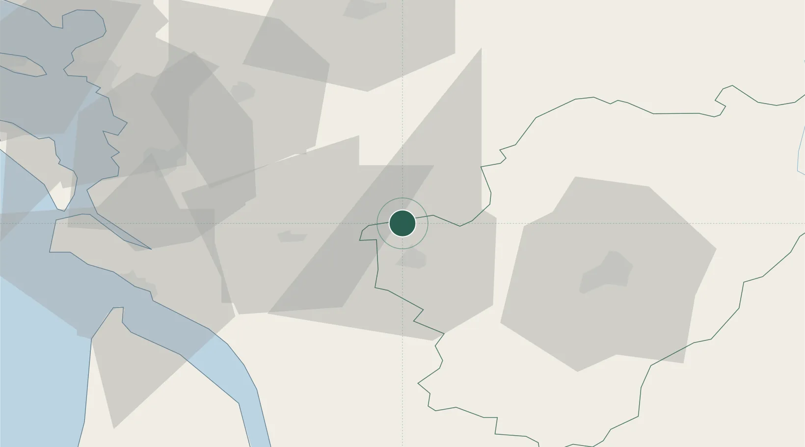
Location
Nearby Logistics Neighbours
Cities
- 1Migron4 km
- 2Bréville7 km
- 3Villars-les-Bois7 km
- 4Boutiers-Saint-Trojan8 km
- 5Sonnac9 km
Ports
- 1Tonnay Charente46 km
- 2Rochefort49 km
- 3Le Verdon60 km
- 4Pauillac72 km
- 5La Rochelle74 km
Airports
Trade Zones
- 1ZFU La Rochelle79 km
- 2Port de Bordeaux98 km
- 3ZFU Hauts de Garonne108 km
- 4ZFU Angers190 km
- 5ZFU Nantes et Saint-Herblain191 km
DatabookThe Record of Consolidated Knowledge
France beyond logistics?