UN/LOCODE hub · France
FROJA

Boutiers-Saint-Trojan
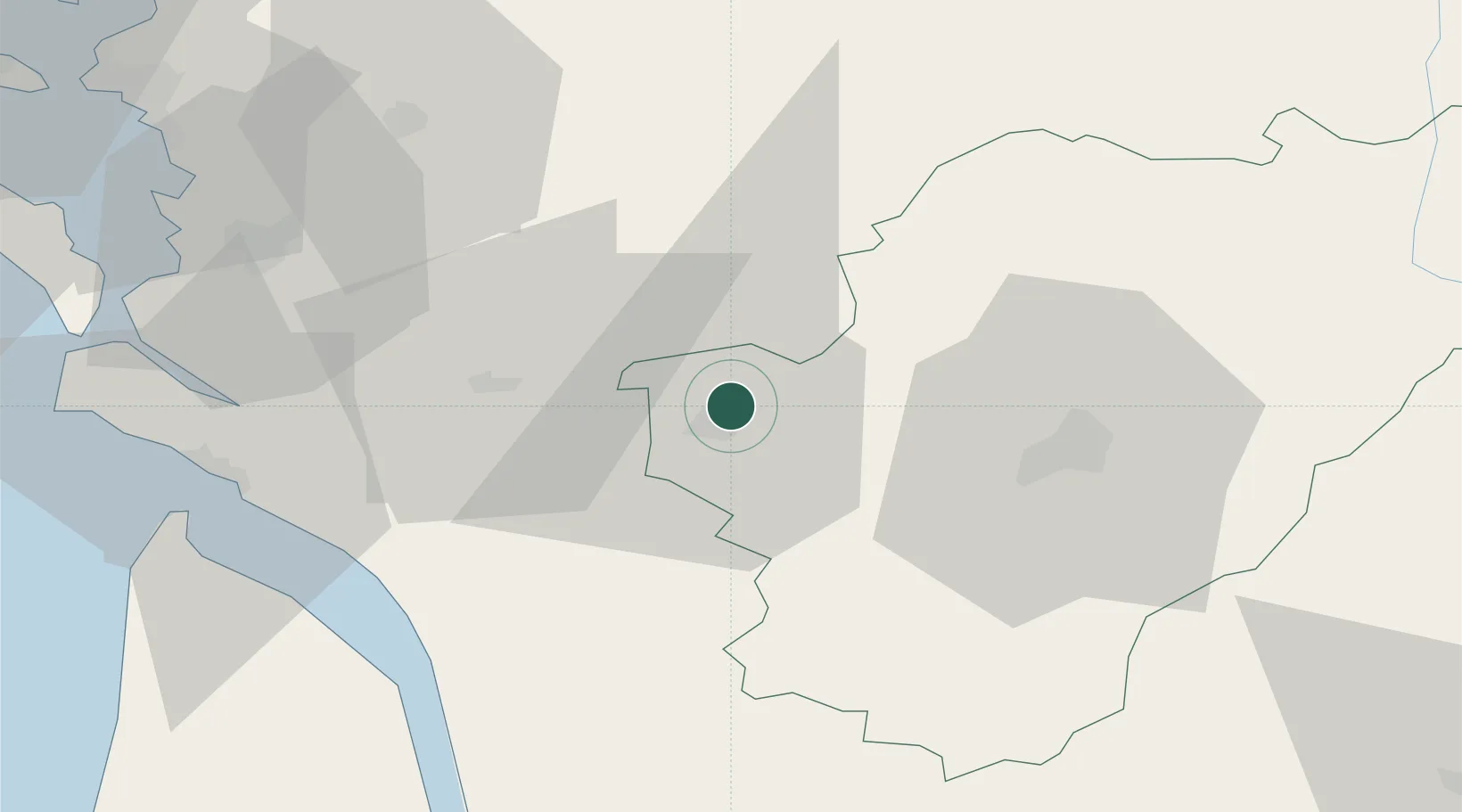
45.7167°, -0.3000°
1,430
Population
2
Transport functions

Transport Functions

Port
Multimodal
UN/LOCODE

Hub Profile

Place type
Populated place
GeoNames
Region
Nouvelle-Aquitaine
GeoNames
Population
1,430
GeoNames
Time zone
Europe/Paris
GeoNames
Elevation
47 m
GeoNames

Location

Location of FROJA
Natural Earth 10m (public domain) · Nouvelle-Aquitaine · FROJA · 45.72, -0.30GoogleOSMYandex

Nearby Logistics Neighbours

Cities
  1. 1Cognac3 km
  2. 2Nercillac4 km
  3. 3Saint-Brice4 km
  4. 4Javrezac4 km
  5. 5Châteaubernard6 km
Nearest neighbours — logibook spatial index (haversine) over the source coordinates
Ports
  1. 1Tonnay Charente52 km
  2. 2Rochefort56 km
  3. 3Le Verdon61 km
  4. 4Pauillac67 km
  5. 5Blaye71 km
Nearest neighbours — logibook spatial index (haversine) over the source coordinates
Airports
  1. 1Cognac-Châteaubernard (BA 709) Air Base7 km
  2. 2Angoulême Brie-Champniers airport41 km
  3. 3Royan-Médis Airport53 km
  4. 4Rochefort-Saint-Agnant (BA 721) Airport56 km
  5. 5Niort - Marais Poitevin Airport67 km
Nearest neighbours — logibook spatial index (haversine) over the source coordinates
Trade Zones
  1. 1ZFU La Rochelle86 km
  2. 2Port de Bordeaux92 km
  3. 3ZFU Hauts de Garonne101 km
  4. 4ZFU Angers198 km
  5. 5ZFU Nantes et Saint-Herblain199 km
Nearest neighbours — logibook spatial index (haversine) over the source coordinates
DatabookThe Record of Consolidated Knowledge
France beyond logistics?
Browse databook

All Sources

LocationsUN/LOCODE
UN/LOCODE — free
LocationsGeoNames
CC BY 4.0
Portsthe NGA World Port Index
Public domain (US gov)
AirportsOurAirports
Public domain
Trade Zonesthe World Bank SEZ database
CC BY 4.0
Trade ZonesOpen Zone Map
CC BY
← France locations