Transport Functions
Multimodal
Hub Profile
Place type
Populated place
Region
Nouvelle-Aquitaine
Population
531
Time zone
Europe/Paris
Elevation
22 m
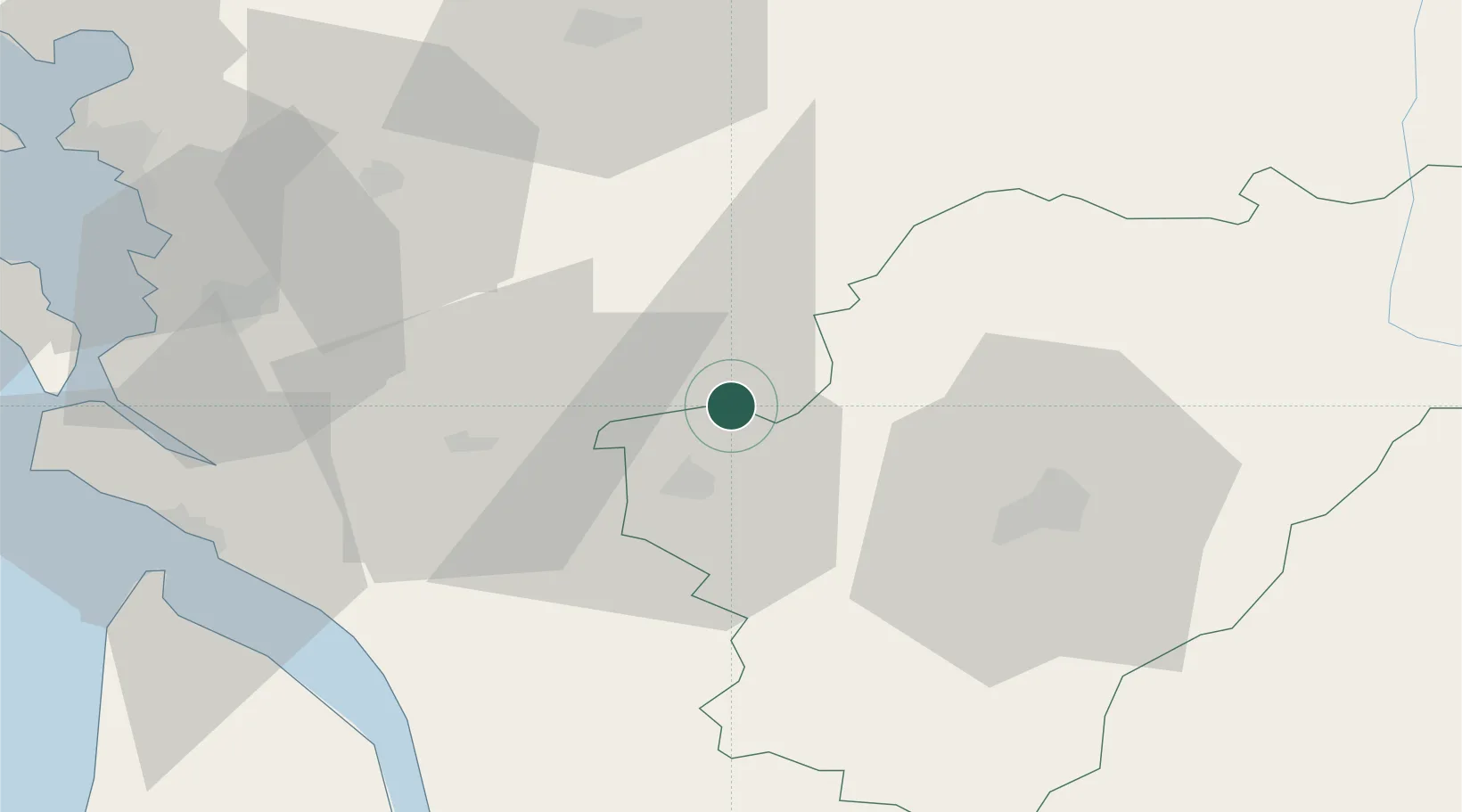
Location
Nearby Logistics Neighbours
Cities
- 1Sonnac4 km
- 2Macqueville4 km
- 3Siecq6 km
- 4Houlette6 km
- 5Mesnac7 km
Ports
- 1Tonnay Charente51 km
- 2Rochefort55 km
- 3Le Verdon67 km
- 4Pauillac77 km
- 5La Rochelle79 km
Airports
Trade Zones
- 1ZFU La Rochelle83 km
- 2Port de Bordeaux101 km
- 3ZFU Hauts de Garonne111 km
- 4ZFU Angers189 km
- 5ZFU Nantes et Saint-Herblain193 km
DatabookThe Record of Consolidated Knowledge
France beyond logistics?