Transport Functions
Multimodal
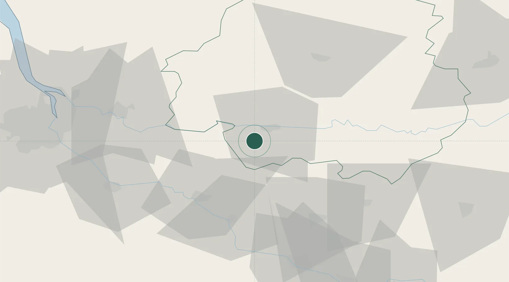
Hub Profile
Place type
Populated place
Region
Nouvelle-Aquitaine
Population
747
Time zone
Europe/Paris
Elevation
127 m
Location
Nearby Logistics Neighbours
Cities
- 1Rouffignac-de-Sigoulès3 km
- 2Mescoules4 km
- 3Cunèges4 km
- 4Saint-Laurent-des-Vignes5 km
- 5Gageac-et-Rouillac6 km
Airports
Trade Zones
- 1Port de Bordeaux76 km
- 2ZFU Hauts de Garonne79 km
- 3ZFU Toulouse155 km
- 4ZFU La Rochelle199 km
- 5ZFU Clermont-Ferrand236 km
DatabookThe Record of Consolidated Knowledge
France beyond logistics?