Transport Functions
Road
Multimodal
Hub Profile
Place type
Populated place
Region
Rhône-Alpes
Population
914
Time zone
Europe/Paris
Elevation
207 m
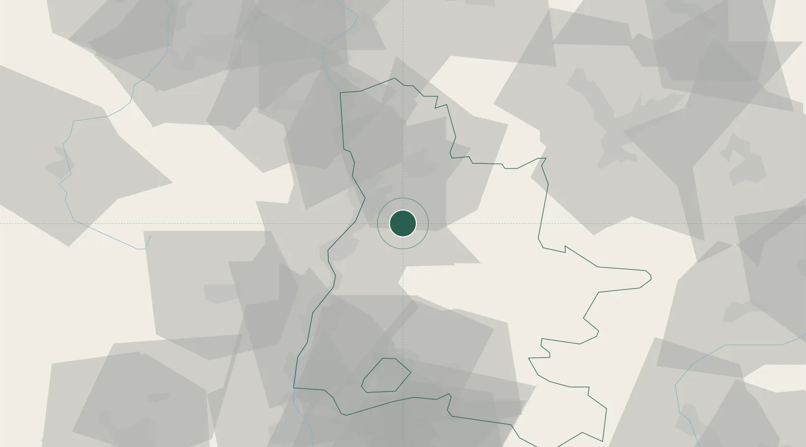
Location
Nearby Logistics Neighbours
Cities
- 1Chabeuil2 km
- 2Beaumont-lès-Valence4 km
- 3Montéléger7 km
- 4Charpey10 km
- 5Portes-lès-Valence11 km
Ports
- 1Fos162 km
- 2Port-de-Bouc163 km
- 3Port Saint Louis Du Rhone166 km
- 4Marseille175 km
- 5Sete194 km
Airports
Trade Zones
- 1ZFU Valence15 km
- 2ZFU Grenoble63 km
- 3ZFU Saint-Etienne84 km
- 4ZFU Vénissieux93 km
- 5ZFU Vaulx-en-Velin102 km
DatabookThe Record of Consolidated Knowledge
France beyond logistics?