UN/LOCODE hub · France
FRBXB

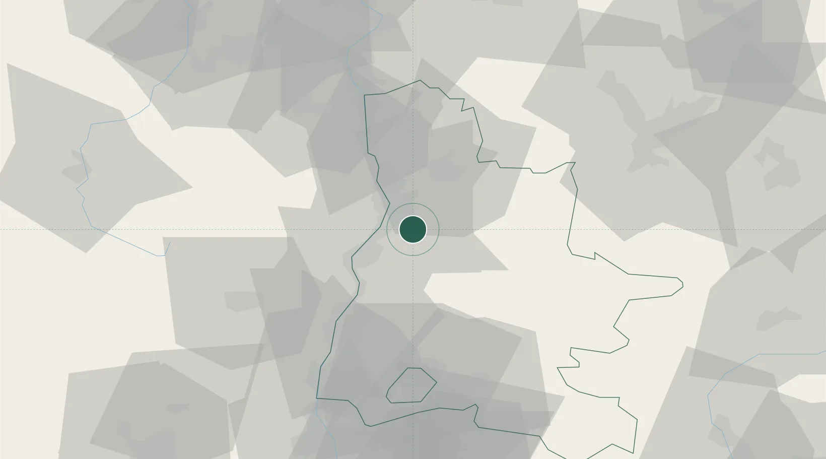
Beaumont-lès-Valence

44.8667°, 4.9667°
3,982
Population
1
Transport functions

Transport Functions

Multimodal
UN/LOCODE

Hub Profile

Place type
Populated place
GeoNames
Region
Rhône-Alpes
GeoNames
Population
3,982
GeoNames
Time zone
Europe/Paris
GeoNames
Elevation
139 m
GeoNames

Location

Location of FRBXB
Natural Earth 10m (public domain) · Rhône-Alpes · FRBXB · 44.87, 4.97GoogleOSMYandex

Nearby Logistics Neighbours

Cities
  1. 1Montéléger3 km
  2. 2Montvendre4 km
  3. 3Chabeuil4 km
  4. 4Portes-lès-Valence7 km
  5. 5Valence8 km
Nearest neighbours — logibook spatial index (haversine) over the source coordinates
Ports
  1. 1Fos161 km
  2. 2Port-de-Bouc163 km
  3. 3Port Saint Louis Du Rhone165 km
  4. 4Marseille175 km
  5. 5Sete192 km
Nearest neighbours — logibook spatial index (haversine) over the source coordinates
Airports
  1. 1Valence-Chabeuil Airport6 km
  2. 2Aubenas-South Ardèche Airport59 km
  3. 3Grenoble Alpes Isère Airport62 km
  4. 4Orange-Caritat (BA 115) Air Base81 km
  5. 5Saint-Étienne-Bouthéon Airport92 km
Nearest neighbours — logibook spatial index (haversine) over the source coordinates
Trade Zones
  1. 1ZFU Valence11 km
  2. 2ZFU Grenoble66 km
  3. 3ZFU Saint-Etienne81 km
  4. 4ZFU Vénissieux93 km
  5. 5ZFU Lyon 9e102 km
Nearest neighbours — logibook spatial index (haversine) over the source coordinates
DatabookThe Record of Consolidated Knowledge
France beyond logistics?
Browse databook

All Sources

LocationsUN/LOCODE
UN/LOCODE — free
LocationsGeoNames
CC BY 4.0
Portsthe NGA World Port Index
Public domain (US gov)
AirportsOurAirports
Public domain
Trade Zonesthe World Bank SEZ database
CC BY 4.0
Trade ZonesOpen Zone Map
CC BY
← France locations