Transport Functions
Multimodal
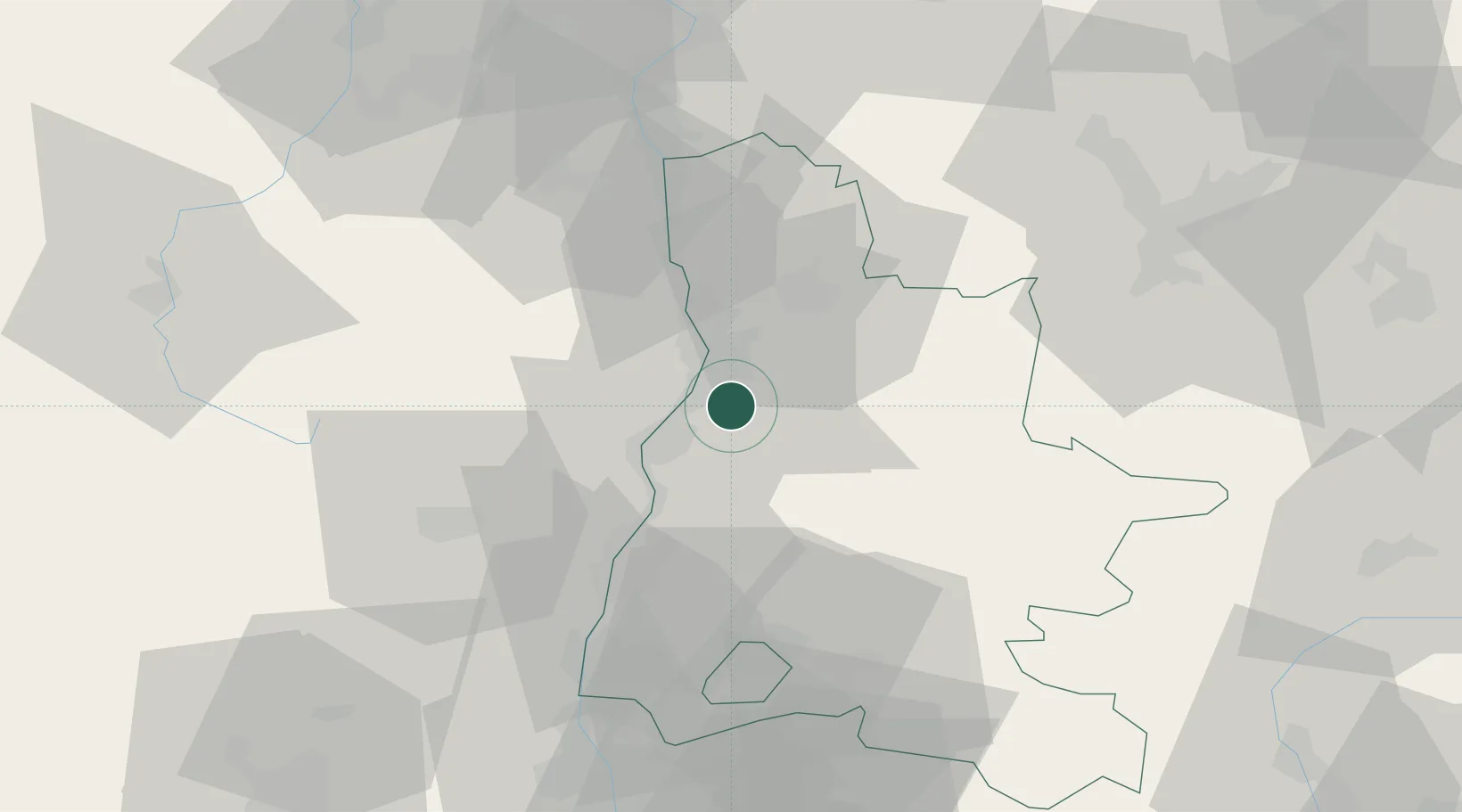
Hub Profile
Place type
Populated place
Region
Rhône-Alpes
Population
1,699
Time zone
Europe/Paris
Elevation
147 m
Location
Nearby Logistics Neighbours
Cities
- 1Beaumont-lès-Valence3 km
- 2Portes-lès-Valence4 km
- 3Valence6 km
- 4Montvendre7 km
- 5Chabeuil8 km
Ports
- 1Fos159 km
- 2Port-de-Bouc161 km
- 3Port Saint Louis Du Rhone163 km
- 4Marseille174 km
- 5Sete189 km
Airports
Trade Zones
- 1ZFU Valence11 km
- 2ZFU Grenoble70 km
- 3ZFU Saint-Etienne81 km
- 4ZFU Vénissieux94 km
- 5ZFU Avignon101 km
DatabookThe Record of Consolidated Knowledge
France beyond logistics?