Transport Functions
Road
Multimodal
Hub Profile
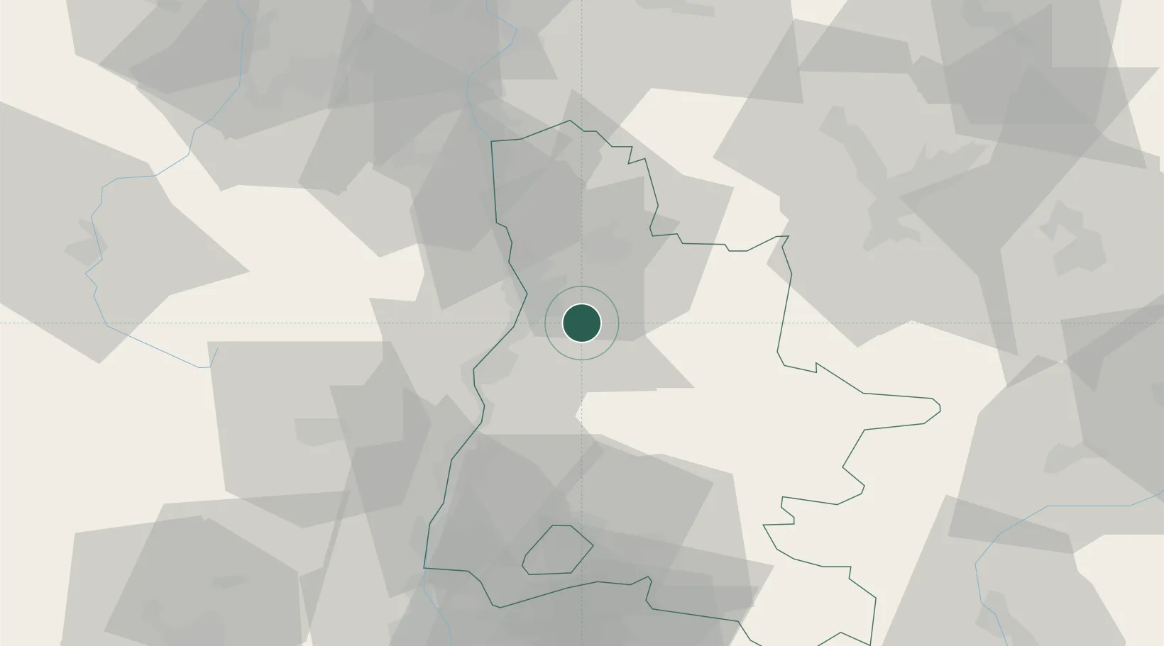
Place type
Populated place
Region
Rhône-Alpes
Population
6,302
Time zone
Europe/Paris
Elevation
205 m
Location
Nearby Logistics Neighbours
Cities
- 1Montvendre2 km
- 2Beaumont-lès-Valence4 km
- 3Montéléger8 km
- 4Charpey9 km
- 5Portes-lès-Valence11 km
Ports
- 1Fos163 km
- 2Port-de-Bouc165 km
- 3Port Saint Louis Du Rhone168 km
- 4Marseille176 km
- 5Sete196 km
Airports
Trade Zones
- 1ZFU Valence14 km
- 2ZFU Grenoble62 km
- 3ZFU Saint-Etienne83 km
- 4ZFU Vénissieux91 km
- 5ZFU Vaulx-en-Velin100 km
DatabookThe Record of Consolidated Knowledge
France beyond logistics?