UN/LOCODE hub · France
FRPOR
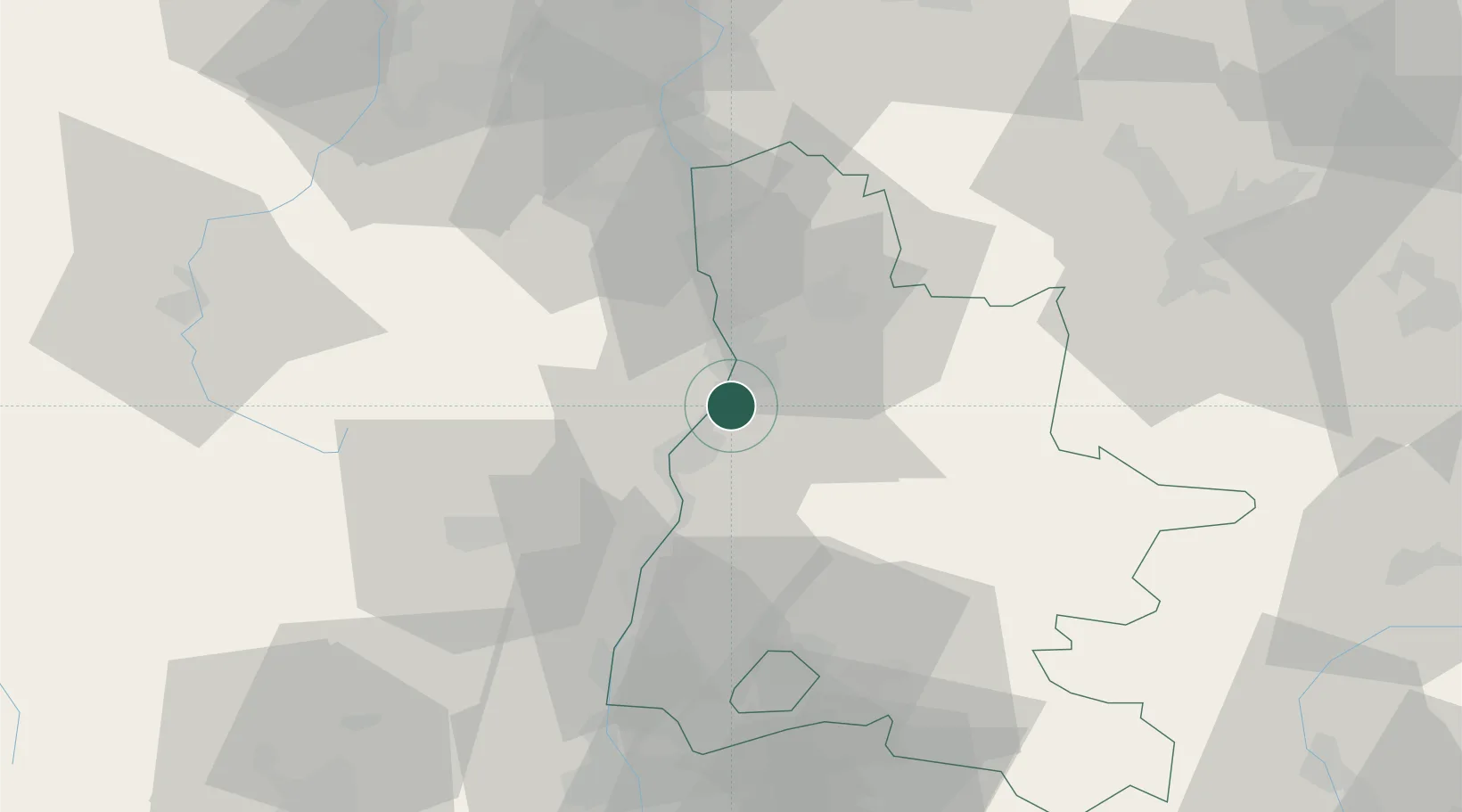
Portes-lès-Valence
44.8667°, 4.8833°
8,675
Population
2
Transport functions
Transport Functions
Rail
Road
Hub Profile
Place type
Populated place
Region
Rhône-Alpes
Population
8,675
Time zone
Europe/Paris
Elevation
110 m
Location
Nearby Logistics Neighbours
Cities
- 1Valence2 km
- 2Montéléger4 km
- 3Saint-Georges-les-Bains5 km
- 4Toulaud6 km
- 5Beaumont-lès-Valence7 km
Ports
- 1Fos161 km
- 2Port-de-Bouc163 km
- 3Port Saint Louis Du Rhone165 km
- 4Marseille177 km
- 5Sete189 km
Airports
Trade Zones
- 1ZFU Valence7 km
- 2ZFU Grenoble72 km
- 3ZFU Saint-Etienne77 km
- 4ZFU Vénissieux92 km
- 5ZFU Lyon 9e101 km
DatabookThe Record of Consolidated Knowledge
France beyond logistics?