Transport Functions
Port
Airport
Hub Profile
Place type
Populated place
Region
Normandy
Population
4,677
Time zone
Europe/Paris
Elevation
5 m
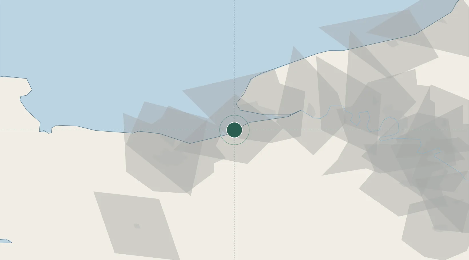
Location
Nearby Logistics Neighbours
Cities
- 1Trouville-sur-Mer1 km
- 2Tourgéville6 km
- 3Villerville6 km
- 4Coudray-Rabut10 km
- 5Silly-en-Gouffern13 km
Ports
- 1Honfleur12 km
- 2Port Of Le Havre14 km
- 3Ouistreham25 km
- 4Port De Caen37 km
- 5Fecamp50 km
Airports
Trade Zones
- 1ZFU Le Havre16 km
- 2ZFU Hérouville-Saint-Clair35 km
- 3ZFU La Guérinière, La Grâce de Dieu40 km
- 4ZFU Rouen Bihorel75 km
- 5ZFU Évreux87 km
DatabookThe Record of Consolidated Knowledge
France beyond logistics?