UN/LOCODE hub · France
FRPZC

Plouezoc'h

48.6333°, -3.8167°
1,596
Population
1
Transport functions

Transport Functions

Multimodal
UN/LOCODE

Hub Profile

Place type
Populated place
GeoNames
Region
Brittany
GeoNames
Population
1,596
GeoNames
Time zone
Europe/Paris
GeoNames
Elevation
86 m
GeoNames

Location

Location of FRPZC
Natural Earth 10m (public domain) · Brittany · FRPZC · 48.63, -3.82GoogleOSMYandex

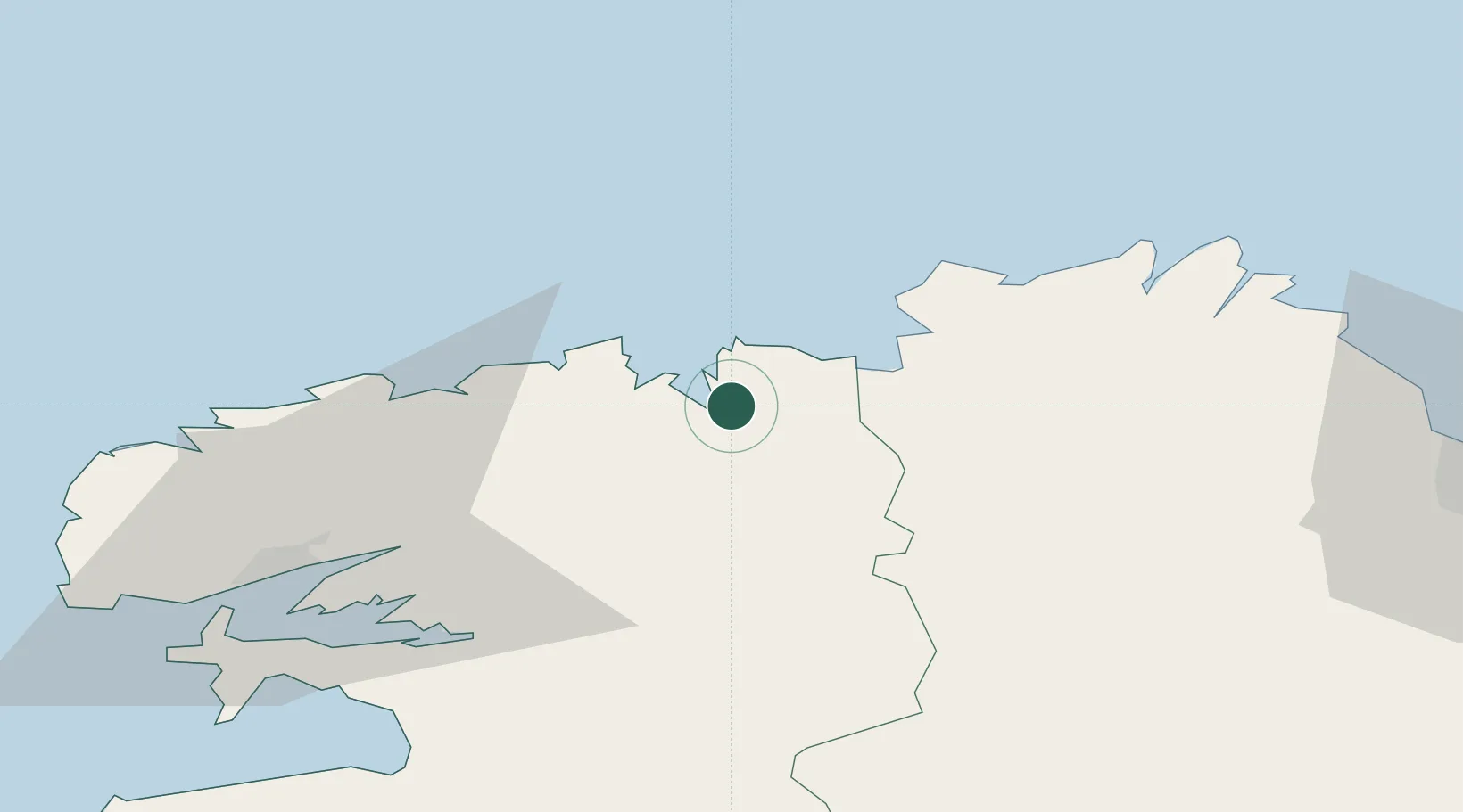
Nearby Logistics Neighbours

Cities
  1. 1Morlaix6 km
  2. 2Lanvenegen6 km
  3. 3Guimaëc9 km
  4. 4Plouegat-Guérand11 km
  5. 5Saint-Pol-de-Léon13 km
Nearest neighbours — logibook spatial index (haversine) over the source coordinates
Ports
  1. 1Morlaix6 km
  2. 2Port De Roscoff-Bloscon17 km
  3. 3Treguier46 km
  4. 4Pontrieux50 km
  5. 5Lezardrieux56 km
Nearest neighbours — logibook spatial index (haversine) over the source coordinates
Airports
  1. 1Morlaix-Ploujean Airport3 km
  2. 2Landivisiau Air Base27 km
  3. 3Lannion Airport29 km
  4. 4Brest Bretagne airport49 km
  5. 5Lanvéoc-Poulmic Air Base61 km
Nearest neighbours — logibook spatial index (haversine) over the source coordinates
Trade Zones
  1. 1ZFU Saint-Nazaire190 km
  2. 2ZFU Cherbourg-Octeville192 km
  3. 3Oceansgate Plymouth195 km
  4. 4Heart of the South West Enterprise Zone197 km
  5. 5Cornwall Newquay Aerohub Enterprise Zone217 km
Nearest neighbours — logibook spatial index (haversine) over the source coordinates
DatabookThe Record of Consolidated Knowledge
France beyond logistics?
Browse databook

All Sources

LocationsUN/LOCODE
UN/LOCODE — free
LocationsGeoNames
CC BY 4.0
Portsthe NGA World Port Index
Public domain (US gov)
AirportsOurAirports
Public domain
Trade Zonesthe World Bank SEZ database
CC BY 4.0
Trade ZonesOpen Zone Map
CC BY
← France locations