Transport Functions
Road
Multimodal
Hub Profile
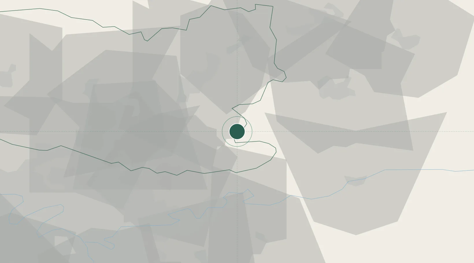
Place type
Populated place
Region
Hauts-de-France
Population
1,008
Time zone
Europe/Paris
Elevation
106 m
Location
Nearby Logistics Neighbours
Cities
- 1Crépy-en-Valois6 km
- 2Oigny-en-Valois11 km
- 3Béthisy-Saint-Pierre15 km
- 4Trosly-Breuil19 km
- 5Ressons-le-Long21 km
Ports
- 1Port Of Rouen141 km
- 2Saint-Valery-Sur-Somme144 km
- 3Le Treport149 km
- 4Dieppe158 km
- 5Boulogne-Sur-Mer194 km
Airports
Trade Zones
- 1ZFU Presles, Chevreux28 km
- 2ZFU Meaux32 km
- 3ZFU Creil et Montataire42 km
- 4ZFU Sevran47 km
- 5ZFU Clichy-sous-Bois et Montfermeil49 km
DatabookThe Record of Consolidated Knowledge
France beyond logistics?