Transport Functions
Port
Hub Profile
Place type
Populated place
Region
Hauts-de-France
Population
172
Time zone
Europe/Paris
Elevation
153 m
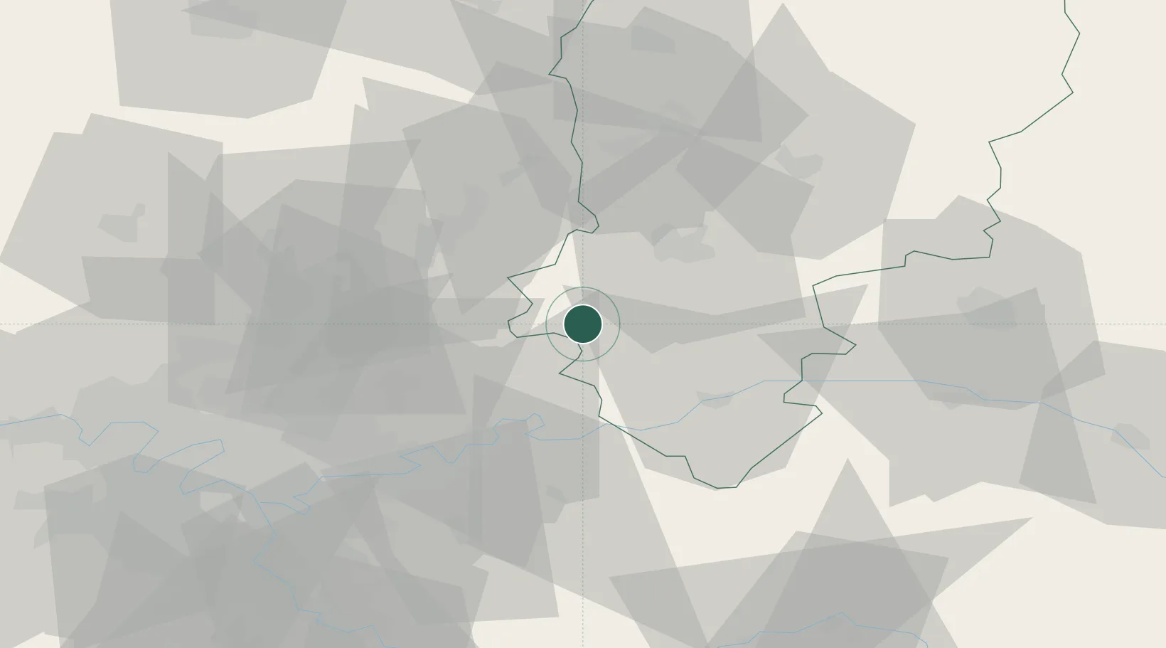
Location
Nearby Logistics Neighbours
Cities
- 1Vaumoise11 km
- 2Rozet-Saint-Albin12 km
- 3Montgru-Saint-Hilaire15 km
- 4Crépy-en-Valois17 km
- 5Torcy-en-Valois18 km
Ports
- 1Port Of Rouen152 km
- 2Saint-Valery-Sur-Somme153 km
- 3Le Treport159 km
- 4Dieppe168 km
- 5Boulogne-Sur-Mer201 km
Airports
Trade Zones
- 1ZFU Presles, Chevreux22 km
- 2ZFU Meaux34 km
- 3ZFU Creil et Montataire53 km
- 4ZFU Sevran54 km
- 5ZFU Clichy-sous-Bois et Montfermeil55 km
DatabookThe Record of Consolidated Knowledge
France beyond logistics?