Transport Functions
Rail
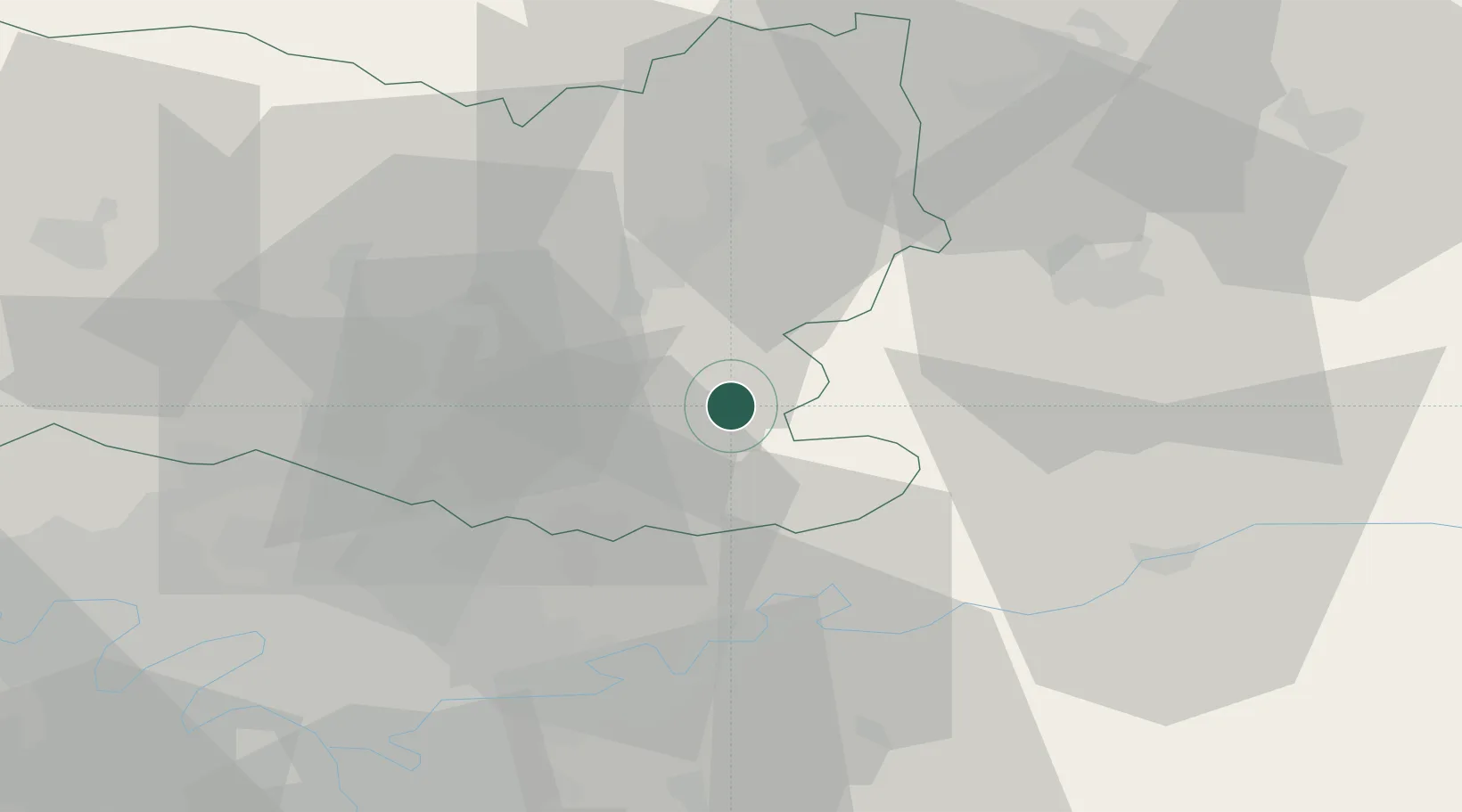
Hub Profile
Place type
Populated place
Region
Hauts-de-France
Population
15,694
Time zone
Europe/Paris
Elevation
98 m
Location
Nearby Logistics Neighbours
Cities
- 1Vaumoise6 km
- 2Béthisy-Saint-Pierre10 km
- 3Oigny-en-Valois17 km
- 4Rivecourt18 km
- 5Trosly-Breuil19 km
Ports
- 1Port Of Rouen135 km
- 2Saint-Valery-Sur-Somme140 km
- 3Le Treport144 km
- 4Dieppe152 km
- 5Boulogne-Sur-Mer191 km
Airports
Trade Zones
- 1ZFU Meaux31 km
- 2ZFU Presles, Chevreux34 km
- 3ZFU Creil et Montataire36 km
- 4ZFU Sevran43 km
- 5ZFU Villiers-le-Bel45 km
DatabookThe Record of Consolidated Knowledge
France beyond logistics?