Transport Functions
Rail
Road
Hub Profile
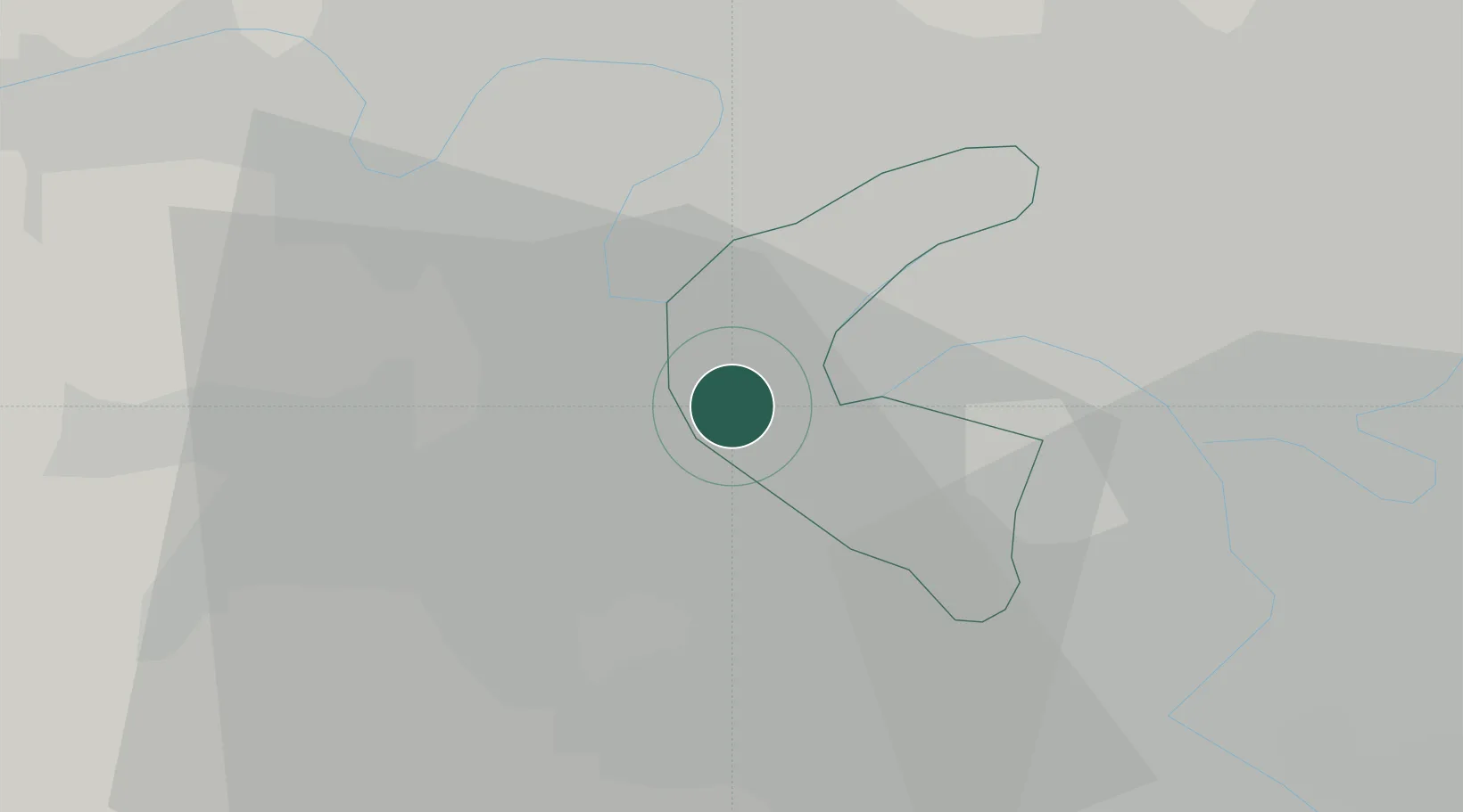
Place type
Populated place
Region
Île-de-France
Population
18,930
Time zone
Europe/Paris
Elevation
134 m
Location
Nearby Logistics Neighbours
Cities
- 1Vélizy-Villacoublay4 km
- 2Viroflay4 km
- 3Boulogne-Billancourt5 km
- 4Bougival5 km
- 5Meudon5 km
Ports
- 1Port Of Rouen106 km
- 2Dieppe146 km
- 3Le Treport149 km
- 4Saint-Valery-Sur-Somme156 km
- 5Honfleur157 km
Airports
Trade Zones
- 1ZFU Sartrouville12 km
- 2ZFU Argenteuil13 km
- 3ZFU Vitry-sur-Seine15 km
- 4ZFU Trappes15 km
- 5ZFU Epinay-sur-Seine16 km
DatabookThe Record of Consolidated Knowledge
France beyond logistics?