UN/LOCODE hub · France
FRLJS
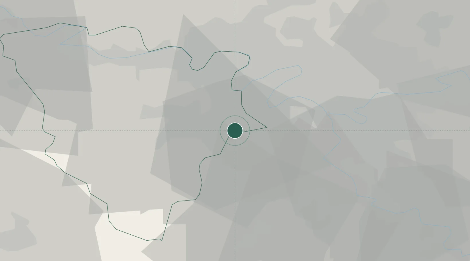
Les Loges-en-Josas
48.7667°, 2.1333°
1,539
Population
2
Transport functions
Transport Functions
Rail
Road
Hub Profile
Place type
Populated place
Region
Île-de-France
Population
1,539
Time zone
Europe/Paris
Elevation
148 m
Location
Nearby Logistics Neighbours
Cities
- 1Jouy-en-Josas2 km
- 2Versailles4 km
- 3Viroflay4 km
- 4Châteaufort4 km
- 5Vélizy-Villacoublay5 km
Ports
- 1Port Of Rouen109 km
- 2Dieppe150 km
- 3Le Treport155 km
- 4Honfleur157 km
- 5Saint-Valery-Sur-Somme162 km
Airports
Trade Zones
- 1ZFU Trappes10 km
- 2ZFU Vitry-sur-Seine18 km
- 3ZFU Sartrouville19 km
- 4ZFU Choisy-le-Roi et Orly20 km
- 5ZFU Grigny Viry-Châtillon21 km
DatabookThe Record of Consolidated Knowledge
France beyond logistics?