UN/LOCODE hub · France
FRVFR

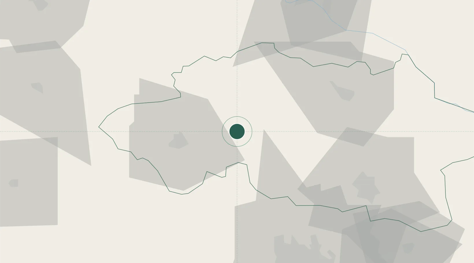
Villefranche-d'Allier

46.4000°, 2.8667°
1,319
Population
2
Transport functions

Transport Functions

Rail
Road
UN/LOCODE

Hub Profile

Place type
Populated place
GeoNames
Region
Rhône-Alpes
GeoNames
Population
1,319
GeoNames
Time zone
Europe/Paris
GeoNames
Elevation
280 m
GeoNames

Location

Location of FRVFR
Natural Earth 10m (public domain) · Rhône-Alpes · FRVFR · 46.40, 2.87GoogleOSMYandex

Nearby Logistics Neighbours

Cities
  1. 1Malicorne13 km
  2. 2Commentry17 km
  3. 3Cornassat18 km
  4. 4Montluçon22 km
  5. 5Échassières25 km
Nearest neighbours — logibook spatial index (haversine) over the source coordinates
Ports
  1. 1Tonnay Charente295 km
  2. 2Rochefort298 km
  3. 3Ambes306 km
  4. 4Blaye308 km
  5. 5La Rochelle310 km
Nearest neighbours — logibook spatial index (haversine) over the source coordinates
Airports
  1. 1Montluçon-Guéret Airport43 km
  2. 2Vichy-Charmeil Airport49 km
  3. 3Nevers-Fourchambault Airport70 km
  4. 4Clermont-Ferrand Auvergne airport72 km
  5. 5Avord (BA 702) Air Base75 km
Nearest neighbours — logibook spatial index (haversine) over the source coordinates
Trade Zones
  1. 1ZFU Clermont-Ferrand70 km
  2. 2ZFU Bourges86 km
  3. 3ZFU Saint-Etienne155 km
  4. 4ZFU Lyon 9e165 km
  5. 5ZFU Rillieux-la-Pape166 km
Nearest neighbours — logibook spatial index (haversine) over the source coordinates
DatabookThe Record of Consolidated Knowledge
France beyond logistics?
Browse databook

All Sources

LocationsUN/LOCODE
UN/LOCODE — free
LocationsGeoNames
CC BY 4.0
Portsthe NGA World Port Index
Public domain (US gov)
AirportsOurAirports
Public domain
Trade Zonesthe World Bank SEZ database
CC BY 4.0
Trade ZonesOpen Zone Map
CC BY
← France locations