UN/LOCODE hub · France
FRVD8
Villeneuve-d'Olmes
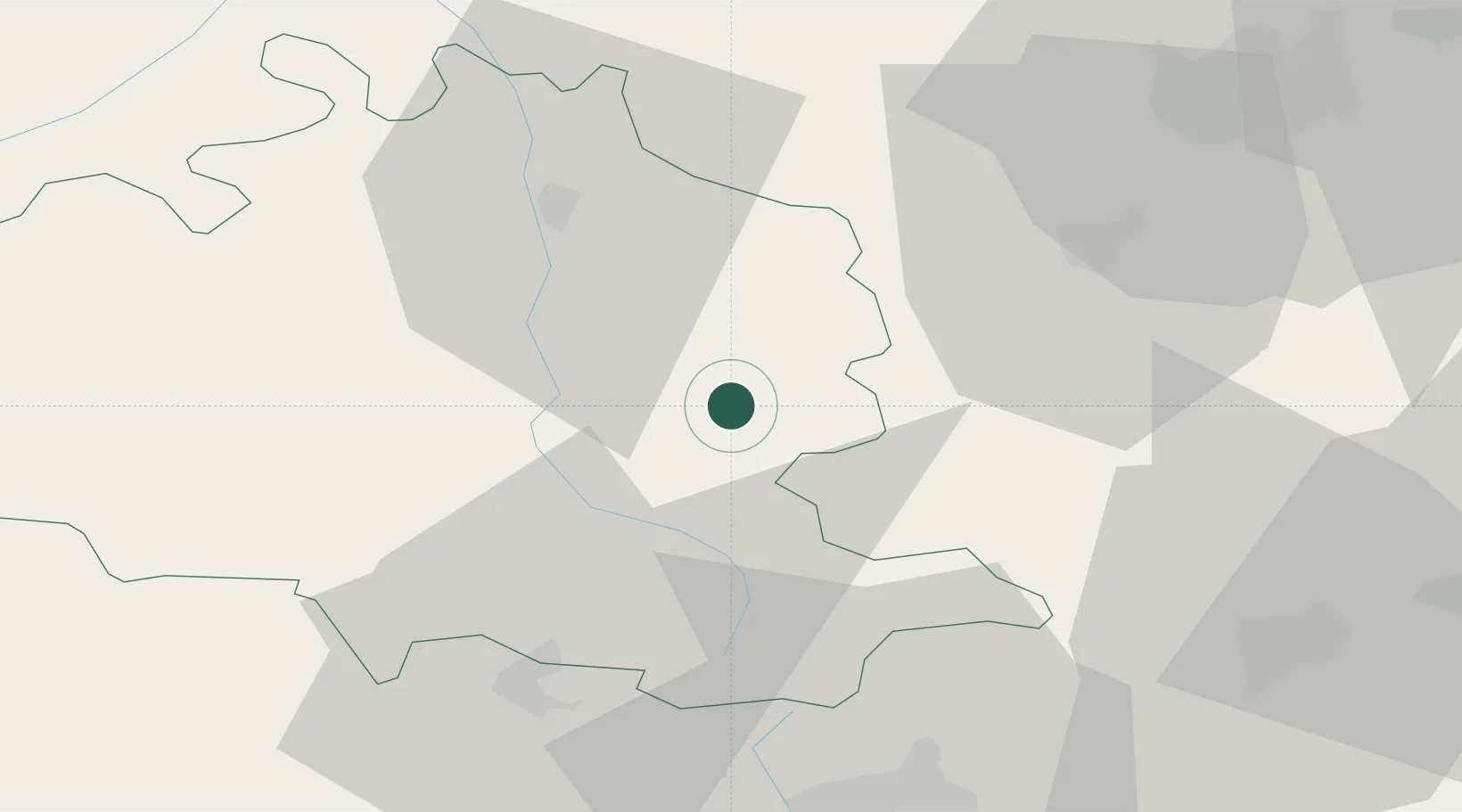
42.9000°, 1.8167°
1,159
Population
2
Transport functions
Transport Functions
Road
Multimodal
Hub Profile
Place type
Populated place
Region
Occitanie
Population
1,159
Time zone
Europe/Paris
Elevation
604 m
Location
Nearby Logistics Neighbours
Cities
- 1Lavelanet5 km
- 2Léran12 km
- 3Saint-Paul-de-Jarrat14 km
- 4Dun15 km
- 5Foix19 km
Ports
- 1Port-La-Nouvelle103 km
- 2Port-Vendres115 km
- 3Rosas132 km
- 4San Feliu De Guixols159 km
- 5Palamos160 km
Airports
Trade Zones
- 1ZFU Toulouse84 km
- 2ZFU Perpignan91 km
- 3ZFU Béziers123 km
- 4Zona Franca de Barcelona176 km
- 5ZFU Montpellier182 km
DatabookThe Record of Consolidated Knowledge
France beyond logistics?