Transport Functions
Multimodal
Hub Profile
Place type
Populated place
Region
Occitanie
Population
601
Time zone
Europe/Paris
Elevation
393 m
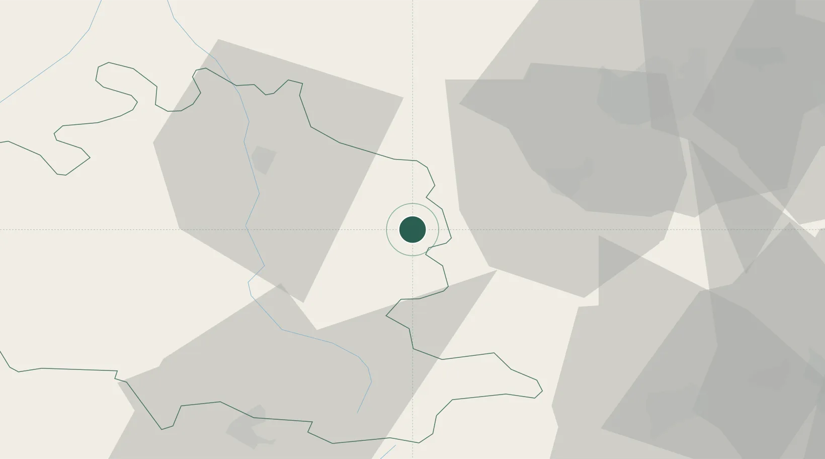
Location
Nearby Logistics Neighbours
Cities
- 1Lavelanet8 km
- 2Moulin-Neuf10 km
- 3Dun11 km
- 4Villeneuve-d'Olmes12 km
- 5Alaigne19 km
Ports
- 1Port-La-Nouvelle94 km
- 2Port-Vendres111 km
- 3Rosas131 km
- 4Sete152 km
- 5Palamos161 km
Airports
Trade Zones
- 1ZFU Toulouse79 km
- 2ZFU Perpignan86 km
- 3ZFU Béziers112 km
- 4ZFU Montpellier171 km
- 5Zona Franca de Barcelona184 km
DatabookThe Record of Consolidated Knowledge
France beyond logistics?