UN/LOCODE hub · France
FRVD3

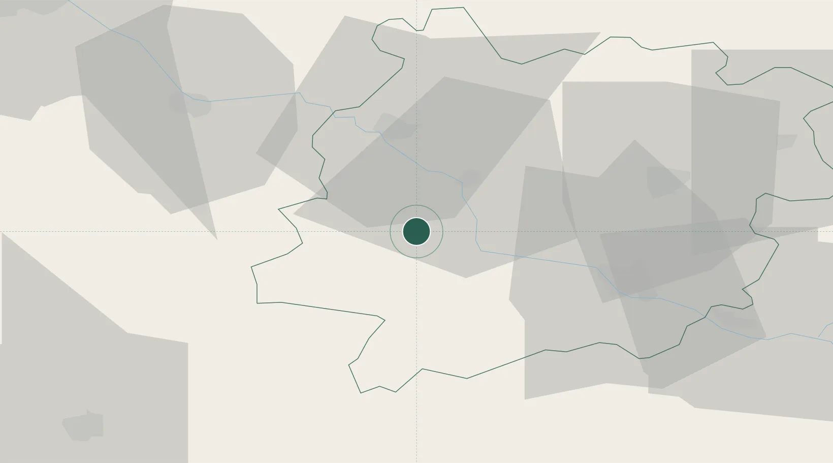
Villefranche-du-Queyran

44.3000°, 0.2000°
378
Population
1
Transport functions

Transport Functions

Multimodal
UN/LOCODE

Hub Profile

Place type
Populated place
GeoNames
Region
Nouvelle-Aquitaine
GeoNames
Population
378
GeoNames
Time zone
Europe/Paris
GeoNames
Elevation
69 m
GeoNames

Location

Location of FRVD3
Natural Earth 10m (public domain) · Nouvelle-Aquitaine · FRVD3 · 44.30, 0.20GoogleOSMYandex

Nearby Logistics Neighbours

Cities
  1. 1Buzet-sur-Baïse9 km
  2. 2Casteljaloux9 km
  3. 3Le Mas-d'Agenais11 km
  4. 4Fauillet15 km
  5. 5Lavardac15 km
Nearest neighbours — logibook spatial index (haversine) over the source coordinates
Ports
  1. 1Bordeaux88 km
  2. 2Ambes99 km
  3. 3Blaye115 km
  4. 4Pauillac125 km
  5. 5Bayonne160 km
Nearest neighbours — logibook spatial index (haversine) over the source coordinates
Airports
  1. 1Agen La Garenne airport34 km
  2. 2Bergerac Dordogne-Périgord airport64 km
  3. 3Mont-de-Marsan (BA 118) Air Base71 km
  4. 4Auch Gers Airfield76 km
  5. 5Bordeaux–Mérignac Airport93 km
Nearest neighbours — logibook spatial index (haversine) over the source coordinates
Trade Zones
  1. 1ZFU Hauts de Garonne85 km
  2. 2Port de Bordeaux89 km
  3. 3ZFU Toulouse126 km
  4. 4Depósito Franco de Pasajes (Guipúzcoa)202 km
  5. 5ZFU La Rochelle235 km
Nearest neighbours — logibook spatial index (haversine) over the source coordinates
DatabookThe Record of Consolidated Knowledge
France beyond logistics?
Browse databook

All Sources

LocationsUN/LOCODE
UN/LOCODE — free
LocationsGeoNames
CC BY 4.0
Portsthe NGA World Port Index
Public domain (US gov)
AirportsOurAirports
Public domain
Trade Zonesthe World Bank SEZ database
CC BY 4.0
Trade ZonesOpen Zone Map
CC BY
← France locations