Transport Functions
Rail
Road
Hub Profile
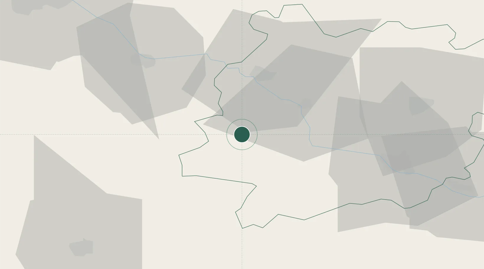
Place type
Populated place
Region
Nouvelle-Aquitaine
Population
5,056
Time zone
Europe/Paris
Elevation
72 m
Location
Nearby Logistics Neighbours
Cities
- 1Villefranche-du-Queyran9 km
- 2Grignols14 km
- 3Le Mas-d'Agenais15 km
- 4Lartigue16 km
- 5Buzet-sur-Baïse17 km
Airports
Trade Zones
- 1ZFU Hauts de Garonne79 km
- 2Port de Bordeaux84 km
- 3ZFU Toulouse133 km
- 4Depósito Franco de Pasajes (Guipúzcoa)194 km
- 5ZFU La Rochelle231 km
DatabookThe Record of Consolidated Knowledge
France beyond logistics?