Transport Functions
Port
Road
Hub Profile
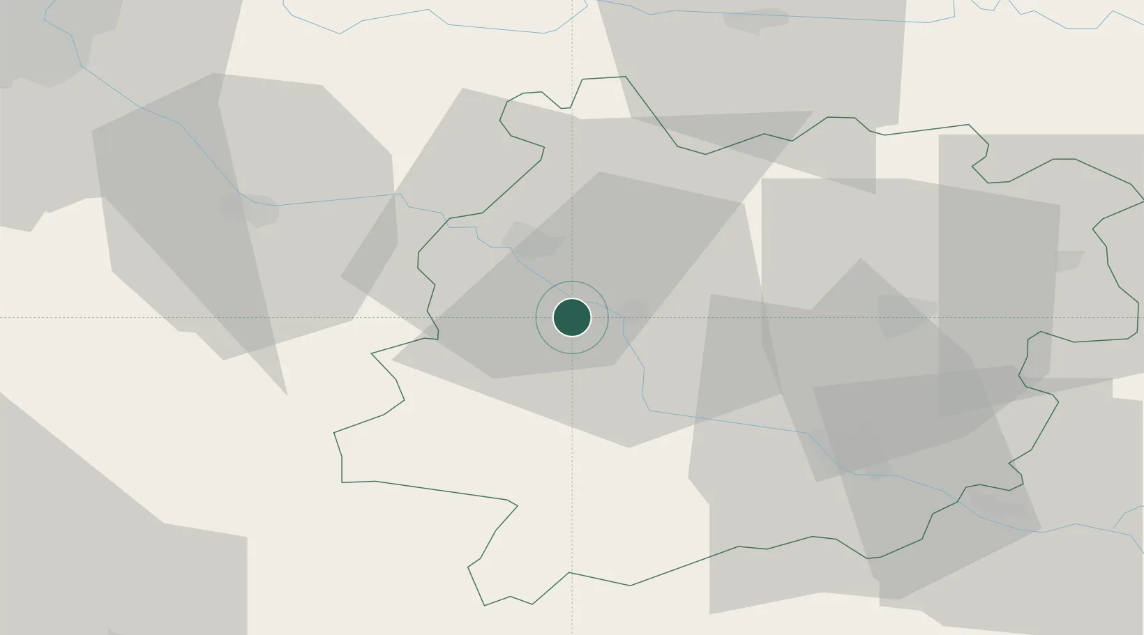
Place type
Populated place
Region
Nouvelle-Aquitaine
Population
1,431
Time zone
Europe/Paris
Elevation
56 m
Location
Nearby Logistics Neighbours
Cities
- 1Fauillet6 km
- 2Caumont-sur-Garonne6 km
- 3Virazeil11 km
- 4Villefranche-du-Queyran11 km
- 5Marmande12 km
Airports
Trade Zones
- 1ZFU Hauts de Garonne79 km
- 2Port de Bordeaux82 km
- 3ZFU Toulouse132 km
- 4Depósito Franco de Pasajes (Guipúzcoa)209 km
- 5ZFU La Rochelle226 km
DatabookThe Record of Consolidated Knowledge
France beyond logistics?