UN/LOCODE hub · France
FRZDC

Fauillet

44.4167°, 0.2833°
869
Population
1
Transport functions

Transport Functions

Multimodal
UN/LOCODE

Hub Profile

Place type
Populated place
GeoNames
Region
Nouvelle-Aquitaine
GeoNames
Population
869
GeoNames
Time zone
Europe/Paris
GeoNames
Elevation
40 m
GeoNames

Location

Location of FRZDC
Natural Earth 10m (public domain) · Nouvelle-Aquitaine · FRZDC · 44.42, 0.28GoogleOSMYandex

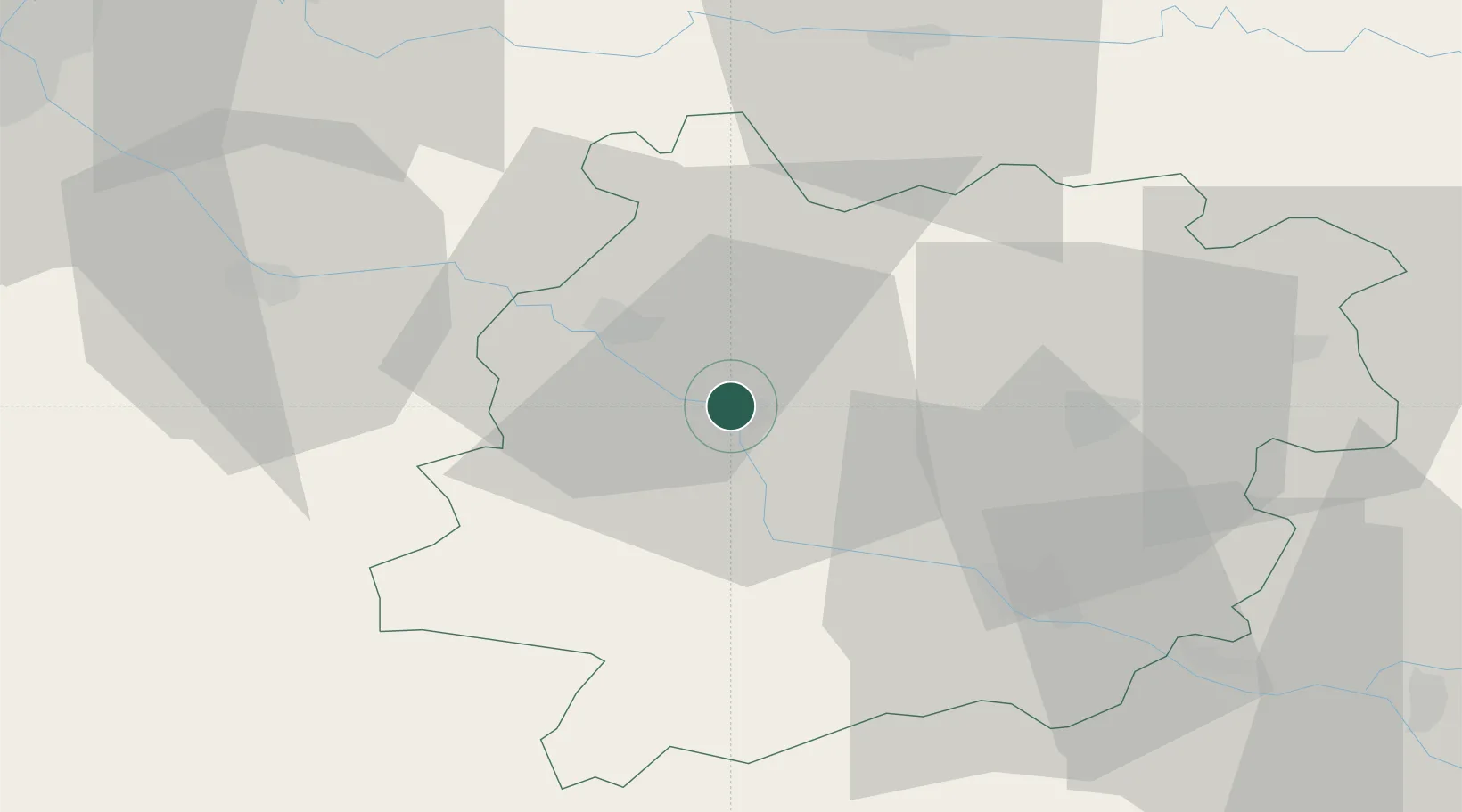
Nearby Logistics Neighbours

Cities
  1. 1Le Mas-d'Agenais6 km
  2. 2Caumont-sur-Garonne8 km
  3. 3Virazeil11 km
  4. 4Clairac11 km
  5. 5Marmande13 km
Nearest neighbours — logibook spatial index (haversine) over the source coordinates
Ports
  1. 1Bordeaux84 km
  2. 2Ambes93 km
  3. 3Blaye109 km
  4. 4Pauillac119 km
  5. 5Le Verdon164 km
Nearest neighbours — logibook spatial index (haversine) over the source coordinates
Airports
  1. 1Agen La Garenne airport37 km
  2. 2Bergerac Dordogne-Périgord airport49 km
  3. 3Mont-de-Marsan (BA 118) Air Base85 km
  4. 4Auch Gers Airfield85 km
  5. 5Bordeaux–Mérignac Airport91 km
Nearest neighbours — logibook spatial index (haversine) over the source coordinates
Trade Zones
  1. 1ZFU Hauts de Garonne82 km
  2. 2Port de Bordeaux85 km
  3. 3ZFU Toulouse129 km
  4. 4Depósito Franco de Pasajes (Guipúzcoa)215 km
  5. 5ZFU La Rochelle227 km
Nearest neighbours — logibook spatial index (haversine) over the source coordinates
DatabookThe Record of Consolidated Knowledge
France beyond logistics?
Browse databook

All Sources

LocationsUN/LOCODE
UN/LOCODE — free
LocationsGeoNames
CC BY 4.0
Portsthe NGA World Port Index
Public domain (US gov)
AirportsOurAirports
Public domain
Trade Zonesthe World Bank SEZ database
CC BY 4.0
Trade ZonesOpen Zone Map
CC BY
← France locations