Transport Functions
Road
Multimodal
Hub Profile
Place type
Populated place
Region
Rhône-Alpes
Population
3,777
Time zone
Europe/Paris
Elevation
261 m
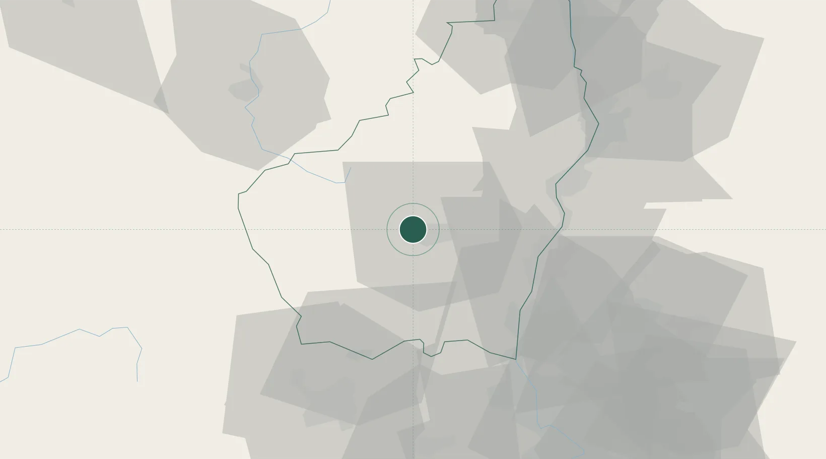
Location
Nearby Logistics Neighbours
Cities
- 1Labégude0 km
- 2Vesseaux6 km
- 3Thueyts12 km
- 4Lavilledieu12 km
- 5Mirabel13 km
Ports
- 1Fos143 km
- 2Port Saint Louis Du Rhone145 km
- 3Port-de-Bouc148 km
- 4Sete149 km
- 5Marseille169 km
Airports
Trade Zones
- 1ZFU Valence49 km
- 2ZFU Avignon85 km
- 3ZFU Saint-Etienne86 km
- 4ZFU Nîmes92 km
- 5ZFU Grenoble119 km
DatabookThe Record of Consolidated Knowledge
France beyond logistics?