Transport Functions
Multimodal
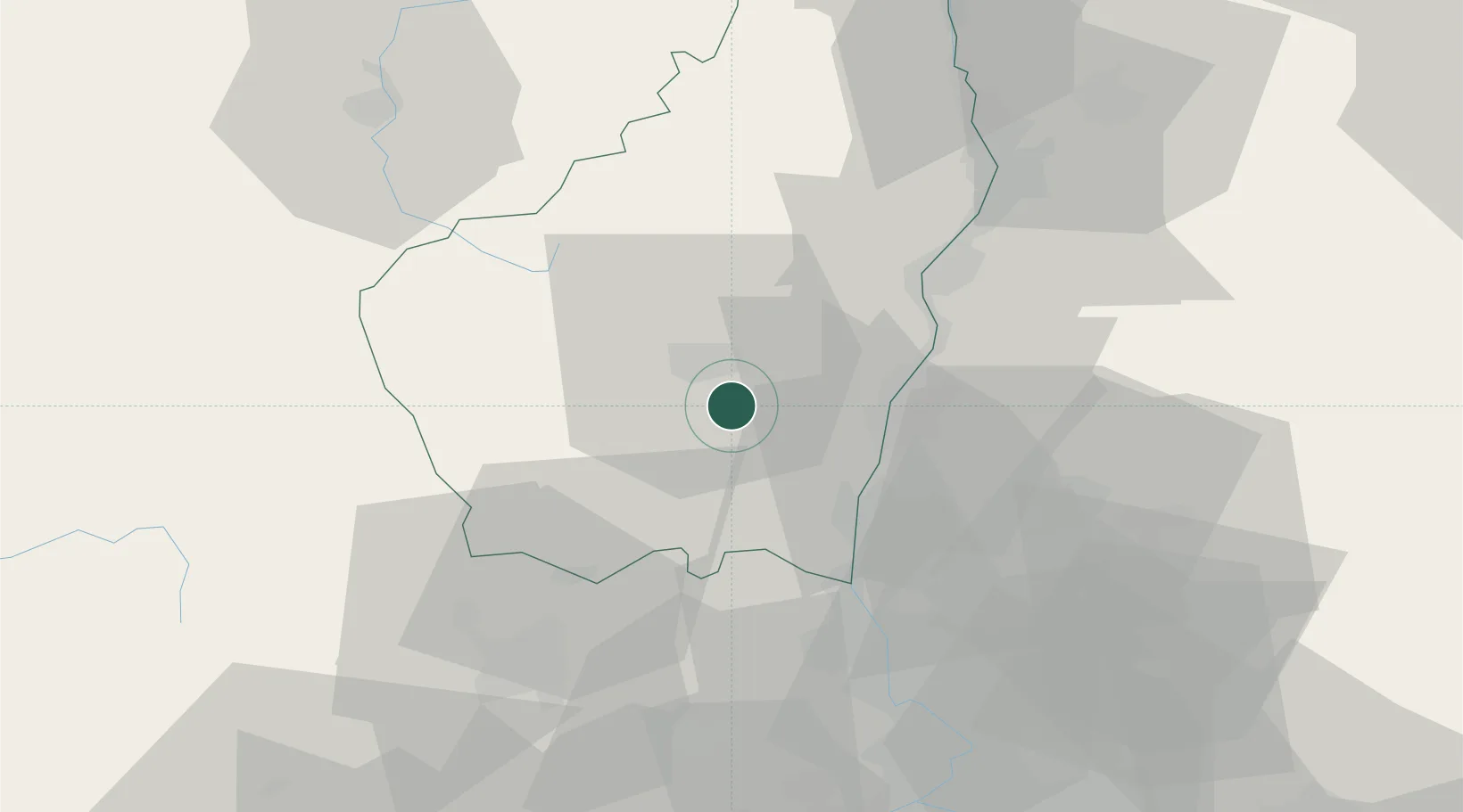
Hub Profile
Place type
Populated place
Region
Rhône-Alpes
Population
1,525
Time zone
Europe/Paris
Elevation
233 m
Location
Nearby Logistics Neighbours
Cities
- 1Mirabel5 km
- 2Vesseaux6 km
- 3Valvignères12 km
- 4Vals-les-Bains12 km
- 5Labégude12 km
Ports
- 1Fos132 km
- 2Port Saint Louis Du Rhone135 km
- 3Port-de-Bouc136 km
- 4Sete144 km
- 5Marseille157 km
Airports
Trade Zones
- 1ZFU Valence50 km
- 2ZFU Avignon74 km
- 3ZFU Nîmes83 km
- 4ZFU Saint-Etienne96 km
- 5ZFU Grenoble118 km
DatabookThe Record of Consolidated Knowledge
France beyond logistics?