Transport Functions
Multimodal
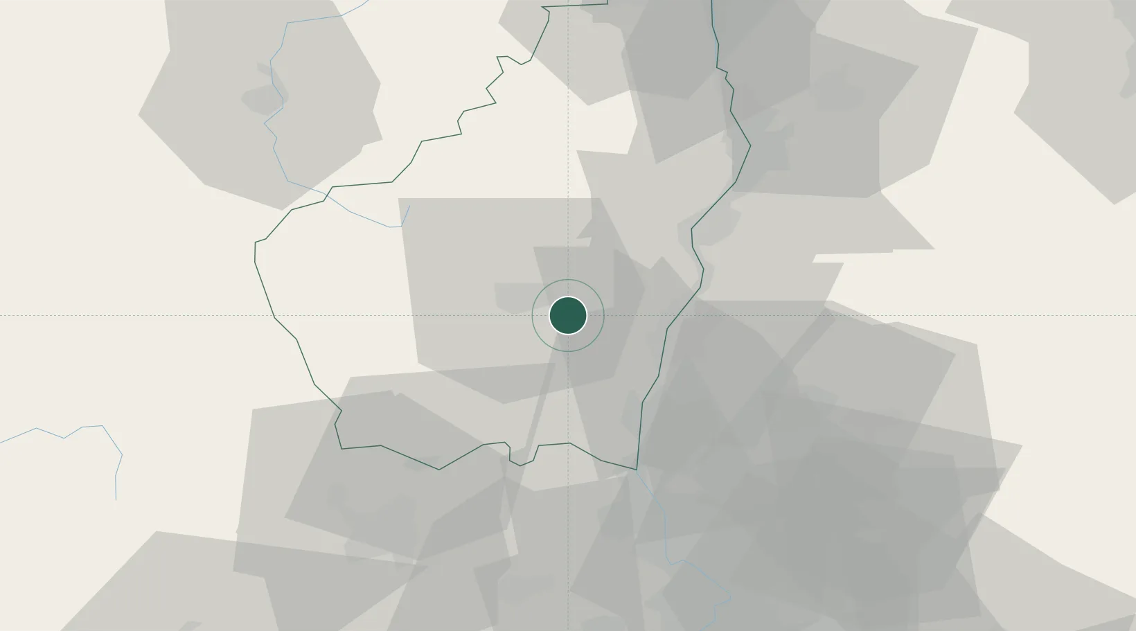
Hub Profile
Place type
Populated place
Region
Rhône-Alpes
Time zone
Europe/Paris
Elevation
518 m
Location
Nearby Logistics Neighbours
Cities
- 1Lavilledieu5 km
- 2Vesseaux7 km
- 3Valvignères12 km
- 4Vals-les-Bains13 km
- 5Labégude13 km
Ports
- 1Fos135 km
- 2Port Saint Louis Du Rhone137 km
- 3Port-de-Bouc139 km
- 4Sete149 km
- 5Marseille158 km
Airports
Trade Zones
- 1ZFU Valence44 km
- 2ZFU Avignon76 km
- 3ZFU Nîmes88 km
- 4ZFU Saint-Etienne93 km
- 5ZFU Grenoble112 km
DatabookThe Record of Consolidated Knowledge
France beyond logistics?