Transport Functions
Road
Multimodal
Hub Profile
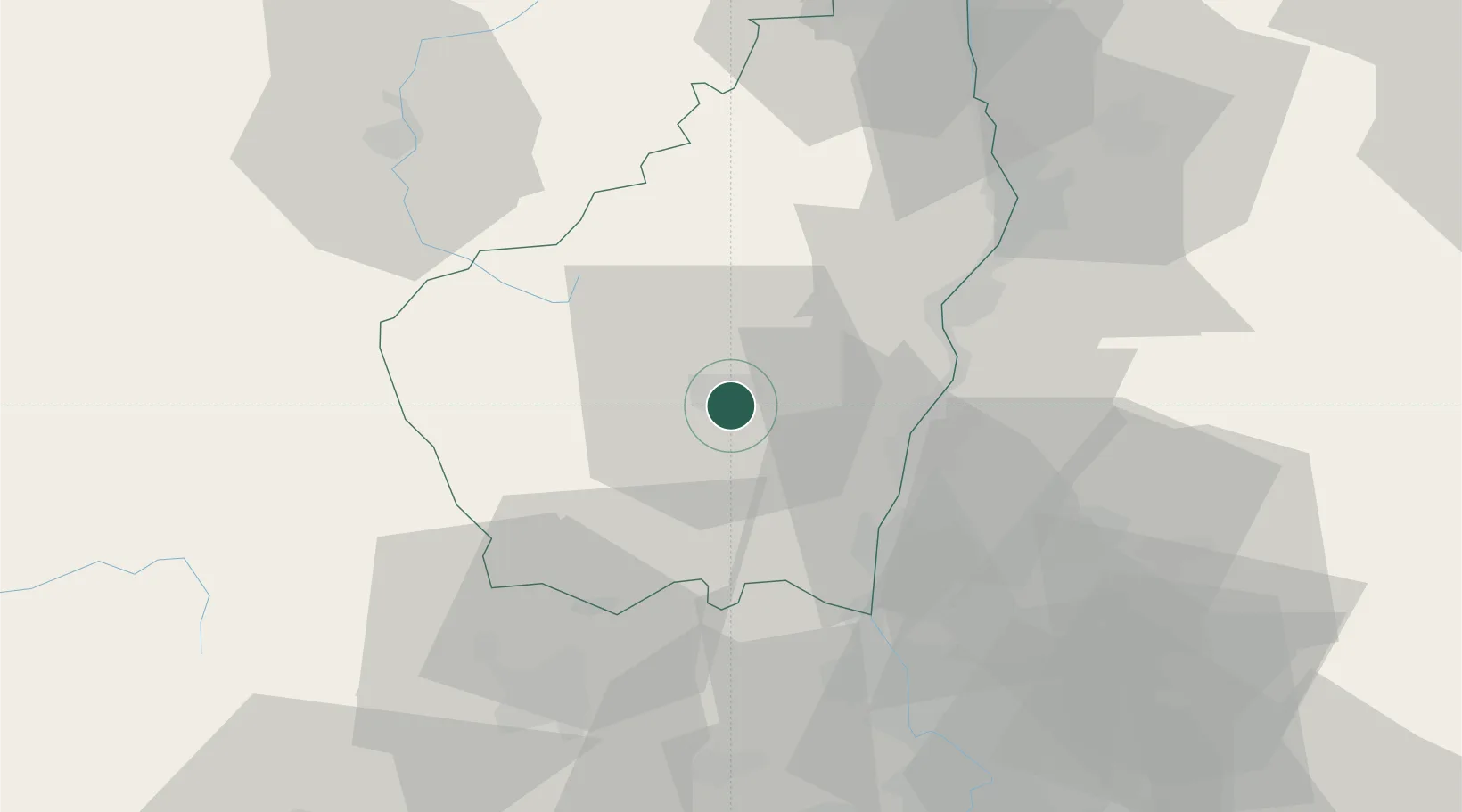
Place type
Populated place
Region
Rhône-Alpes
Population
1,350
Time zone
Europe/Paris
Elevation
276 m
Location
Nearby Logistics Neighbours
Cities
- 1Lavilledieu6 km
- 2Vals-les-Bains6 km
- 3Labégude6 km
- 4Mirabel7 km
- 5Vinezac13 km
Ports
- 1Fos138 km
- 2Port Saint Louis Du Rhone141 km
- 3Port-de-Bouc142 km
- 4Sete148 km
- 5Marseille163 km
Airports
Trade Zones
- 1ZFU Valence47 km
- 2ZFU Avignon80 km
- 3ZFU Nîmes89 km
- 4ZFU Saint-Etienne90 km
- 5ZFU Grenoble117 km
DatabookThe Record of Consolidated Knowledge
France beyond logistics?