Transport Functions
Multimodal
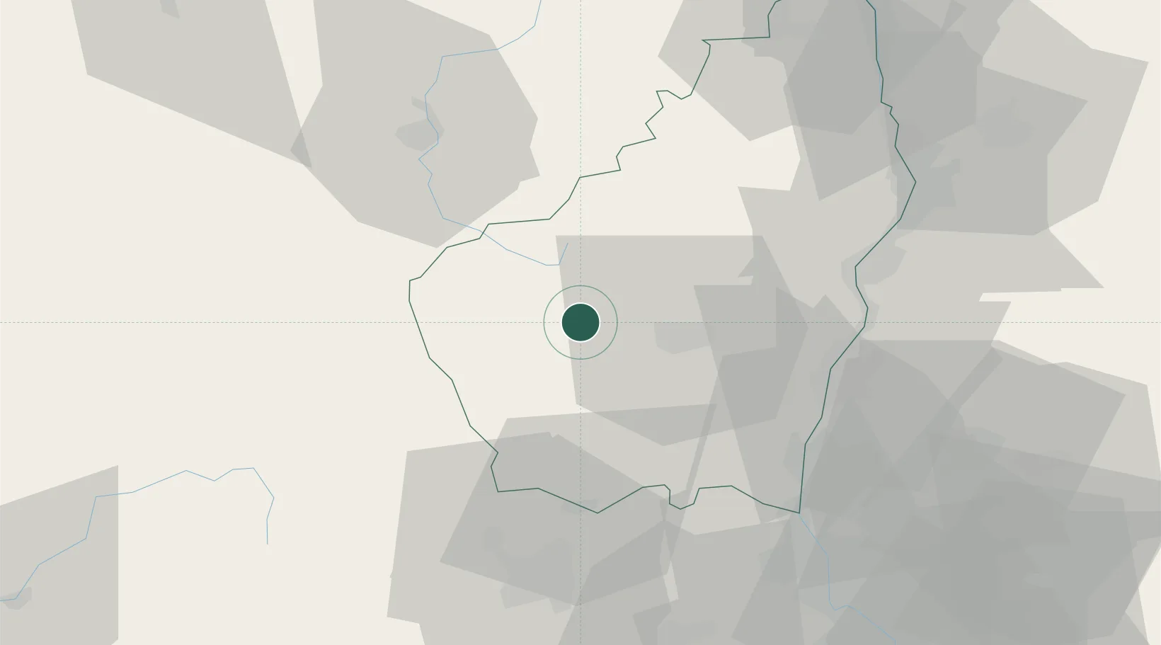
Hub Profile
Place type
Populated place
Region
Rhône-Alpes
Population
1,057
Time zone
Europe/Paris
Elevation
477 m
Location
Nearby Logistics Neighbours
Cities
- 1Vals-les-Bains12 km
- 2Labégude12 km
- 3Vinezac17 km
- 4Vesseaux18 km
- 5Rosières21 km
Ports
- 1Sete147 km
- 2Fos149 km
- 3Port Saint Louis Du Rhone151 km
- 4Port-de-Bouc154 km
- 5Marseille176 km
Airports
Trade Zones
- 1ZFU Valence57 km
- 2ZFU Saint-Etienne85 km
- 3ZFU Avignon92 km
- 4ZFU Nîmes94 km
- 5ZFU Montpellier122 km
DatabookThe Record of Consolidated Knowledge
France beyond logistics?