UN/LOCODE hub · France
FRUSU
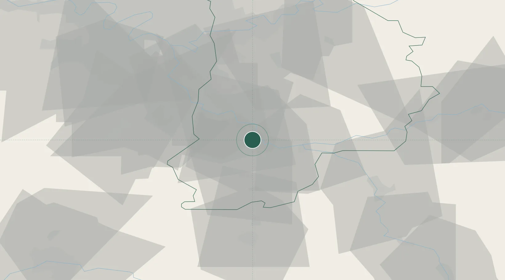
Vulaines-sur-Seine
48.4167°, 2.7500°
2,273
Population
2
Transport functions
Transport Functions
Port
Road
Hub Profile
Place type
Populated place
Region
Île-de-France
Population
2,273
Time zone
Europe/Paris
Elevation
90 m
Location
Nearby Logistics Neighbours
Cities
- 1Samoreau0 km
- 2Thomery3 km
- 3Samois-sur-Seine4 km
- 4Machault7 km
- 5Fontaine-le-Port8 km
Ports
- 1Port Of Rouen168 km
- 2Dieppe208 km
- 3Le Treport209 km
- 4Saint-Valery-Sur-Somme213 km
- 5Honfleur216 km
Airports
Trade Zones
- 1ZFU Montereau-Fault-Yonne15 km
- 2ZFU Melun16 km
- 3ZFU Corbeil-Evry31 km
- 4ZFU Epinay-sous-Sénart36 km
- 5ZFU Grigny Viry-Châtillon40 km
DatabookThe Record of Consolidated Knowledge
France beyond logistics?