Transport Functions
Road
Multimodal
Hub Profile
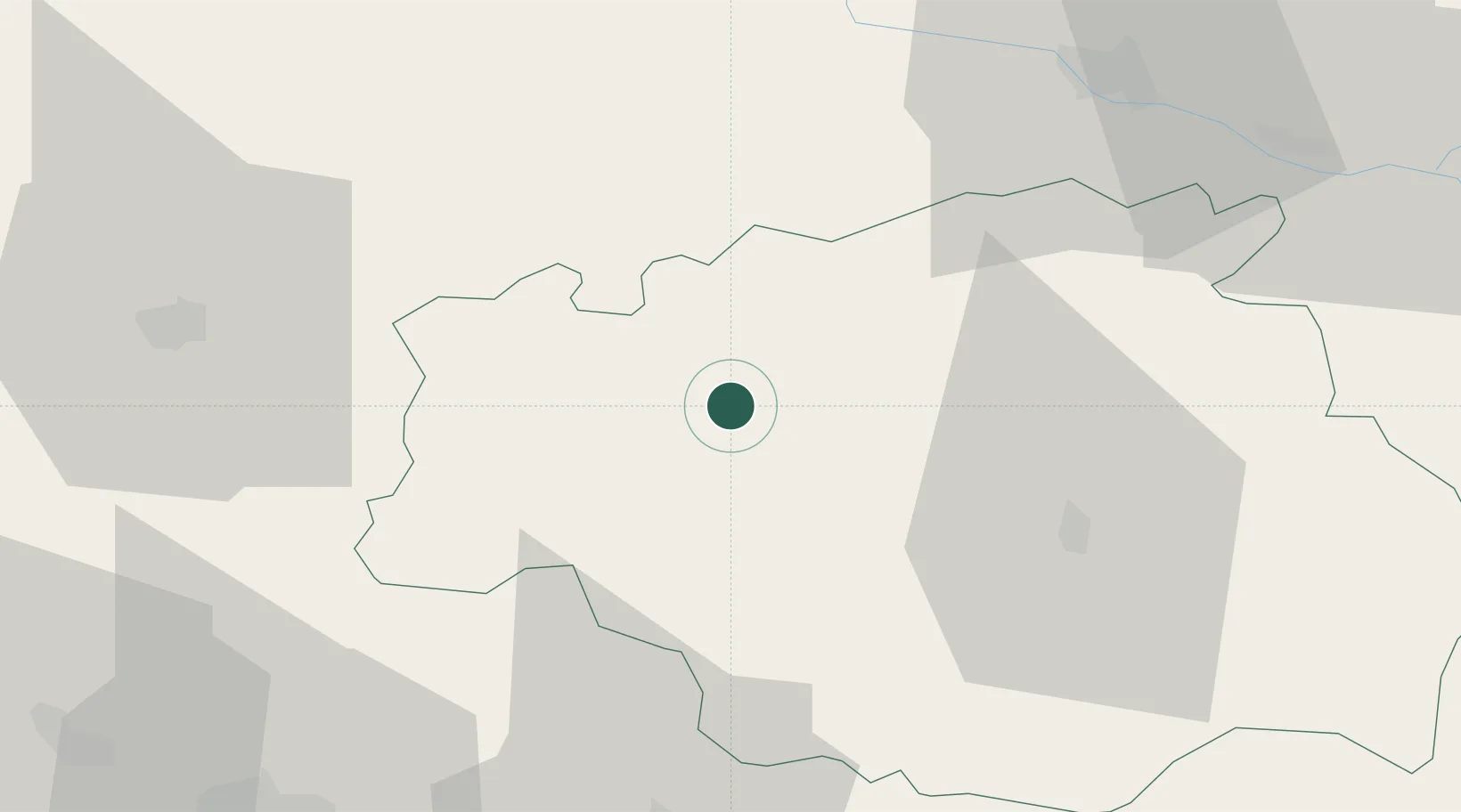
Place type
Populated place
Region
Occitanie
Population
183
Time zone
Europe/Paris
Elevation
167 m
Location
Nearby Logistics Neighbours
Cities
- 1Lannepax4 km
- 2Aubais6 km
- 3Courrensan8 km
- 4Castex-d'Armagnac8 km
- 5Gondrin11 km
Airports
Trade Zones
- 1ZFU Toulouse104 km
- 2ZFU Hauts de Garonne129 km
- 3Port de Bordeaux136 km
- 4Depósito Franco de Pasajes (Guipúzcoa)178 km
- 5ZFU Béziers250 km
DatabookThe Record of Consolidated Knowledge
France beyond logistics?