Transport Functions
Multimodal
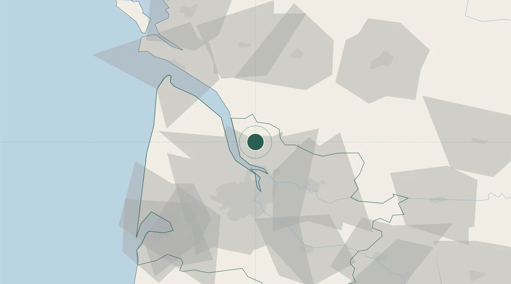
Hub Profile
Place type
Populated place
Region
Nouvelle-Aquitaine
Population
452
Time zone
Europe/Paris
Elevation
36 m
Location
Nearby Logistics Neighbours
Cities
- 1Cartelègue1 km
- 2Étauliers4 km
- 3Eyrans4 km
- 4Saint-Girons-d'Aiguevives5 km
- 5Anglade6 km
Airports
Trade Zones
- 1Port de Bordeaux31 km
- 2ZFU Hauts de Garonne39 km
- 3ZFU La Rochelle120 km
- 4Depósito Franco de Pasajes (Guipúzcoa)234 km
- 5ZFU Toulouse237 km
DatabookThe Record of Consolidated Knowledge
France beyond logistics?