UN/LOCODE hub · France
FRVAF

Valence

44.8772°, 4.8637°
63,864
Population
5
Transport functions

Transport Functions

Port
Rail
Road
Airport
Postal
UN/LOCODE

Hub Profile

Place type
Provincial seat
GeoNames
Region
Rhône-Alpes
GeoNames
Population
63,864
GeoNames
Time zone
Europe/Paris
GeoNames
Elevation
126 m
GeoNames
Logistics facilities
1
UN/LOCODE

Location

Location of FRVAF
Natural Earth 10m (public domain) · Rhône-Alpes · FRVAF · 44.88, 4.86GoogleOSMYandex

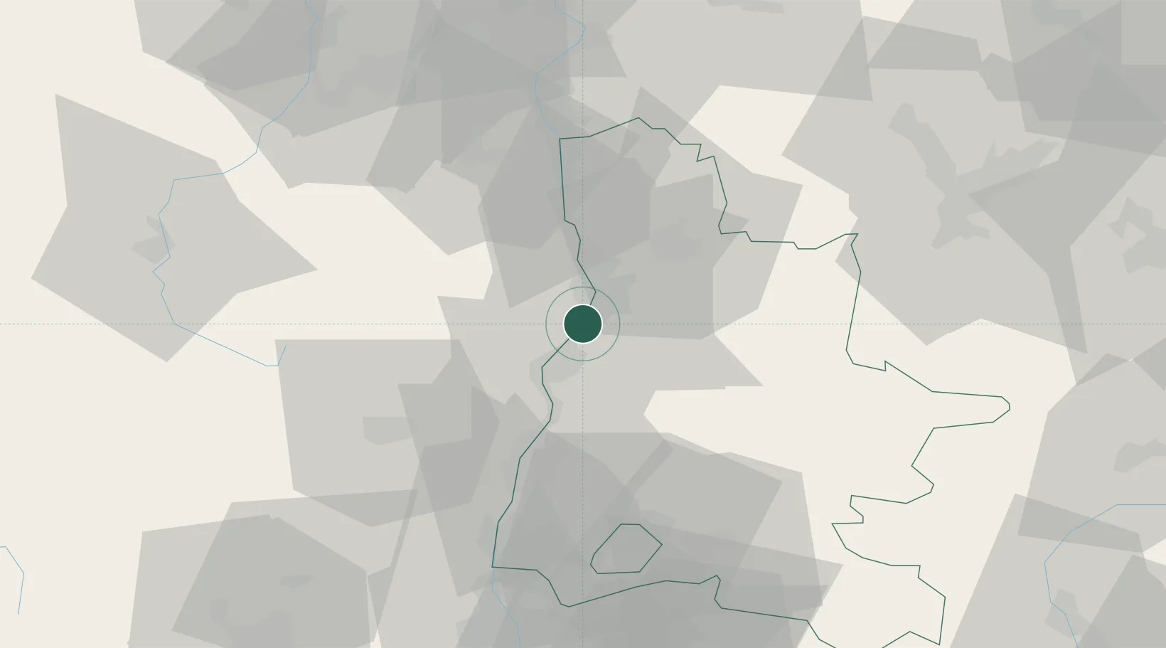
Nearby Logistics Neighbours

Cities
  1. 1Portes-lès-Valence2 km
  2. 2Saint-Georges-les-Bains4 km
  3. 3Toulaud5 km
  4. 4Guilherand-Granges6 km
  5. 5Montéléger6 km
Nearest neighbours — logibook spatial index (haversine) over the source coordinates
Ports
  1. 1Fos162 km
  2. 2Port-de-Bouc165 km
  3. 3Port Saint Louis Du Rhone166 km
  4. 4Marseille178 km
  5. 5Sete189 km
Nearest neighbours — logibook spatial index (haversine) over the source coordinates
Airports
  1. 1Valence-Chabeuil Airport10 km
  2. 2Aubenas-South Ardèche Airport54 km
  3. 3Grenoble Alpes Isère Airport65 km
  4. 4Orange-Caritat (BA 115) Air Base82 km
  5. 5Saint-Étienne-Bouthéon Airport86 km
Nearest neighbours — logibook spatial index (haversine) over the source coordinates
Trade Zones
  1. 1ZFU Valence5 km
  2. 2ZFU Grenoble73 km
  3. 3ZFU Saint-Etienne75 km
  4. 4ZFU Vénissieux91 km
  5. 5ZFU Lyon 9e100 km
Nearest neighbours — logibook spatial index (haversine) over the source coordinates
DatabookThe Record of Consolidated Knowledge
France beyond logistics?
Browse databook

All Sources

LocationsUN/LOCODE
UN/LOCODE — free
LocationsGeoNames
CC BY 4.0
Portsthe NGA World Port Index
Public domain (US gov)
AirportsOurAirports
Public domain
Trade Zonesthe World Bank SEZ database
CC BY 4.0
Trade ZonesOpen Zone Map
CC BY
← France locations