Transport Functions
Multimodal
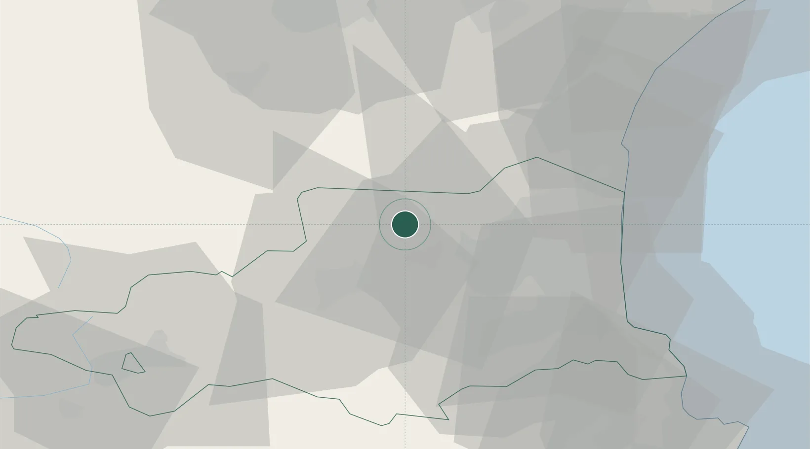
Hub Profile
Place type
Populated place
Region
Occitanie
Population
86
Time zone
Europe/Paris
Elevation
290 m
Location
Nearby Logistics Neighbours
Cities
- 1Saint-Arnac3 km
- 2Rasiguères4 km
- 3Cassagnes5 km
- 4Lesquerde5 km
- 5Maury6 km
Ports
- 1Port-La-Nouvelle49 km
- 2Port-Vendres53 km
- 3Rosas75 km
- 4Palamos113 km
- 5San Feliu De Guixols116 km
Airports
Trade Zones
- 1ZFU Perpignan28 km
- 2ZFU Béziers82 km
- 3ZFU Toulouse130 km
- 4ZFU Montpellier140 km
- 5Zona Franca de Barcelona163 km
DatabookThe Record of Consolidated Knowledge
France beyond logistics?